Loading...
Loading map...1961 Map of Willits
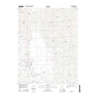
USGS Topo · Published 1984About this map
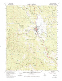
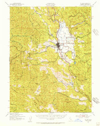
Willits serves as the central hub of this 1961 survey, where the Northwestern Pacific railroad corridor meets the winding path of the California Western River line. The settlement pattern reflects the area's timber and ranching roots, with outlying points like Clare Mill, Burbeck, and the Brooktrails Ranch scattered across the surrounding valley and ridges. To the west, the map details the transition into the Jackson State Forest, where numerous drainages such as the Noyo River and Big River carve through the landscape.
Find a feature on this map
103 named features on this map. Tap any name to fly to it.
Don’t see what you’re looking for? This feature index may not catch every label — zoom into the map to look around manually.
Map Details
Date Portrayed1961
Date Published1984
PublisherU.S. Geological Survey
Map TypeTopographic
Scale1:62,500
Physical Dimensions16.6 x 21.8 inches
Editions of this 1961 Willits Map
3 editions found
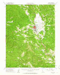
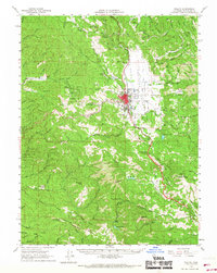
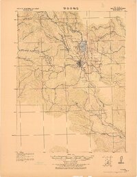
Historical Maps of Willits Through Time
9 maps found
Featured Locations
Source Details
SourceU.S. Geological Survey
CopyrightPublic Domain