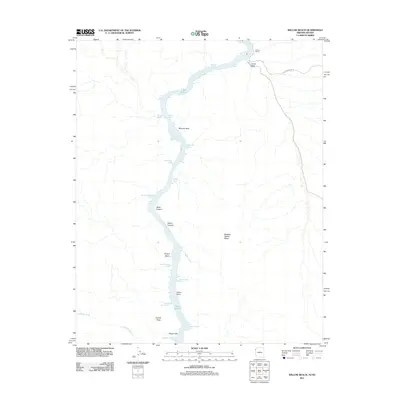
2011 Map of Willow Beach
USGS Topo · Published 2011About this map
Lake Mohave dominates the central corridor of this 2011 survey, where the Colorado River carves through the dramatic geology of the Arizona-Nevada border. The settlement of Willow Beach serves as a primary access point along the river's eastern shore, connected to the interior by N Willow Beach Rd. The landscape is defined by steep vertical relief, featuring named landmarks such as the Chalk Cliffs, Squaw Peaks, and the imposing Malpais Flattop Mesa.
Find a feature on this map
29 named features on this map. Tap any name to fly to it.
Don’t see what you’re looking for? This feature index may not catch every label — zoom into the map to look around manually.
Map Details
Editions of this 2011 Willow Beach Map
This is the sole edition of this map. No revisions or reprints were ever made.
Other maps of this area

1886 · Camp Mohave
USGS Topo · 1:250,000

1892 · Camp Mohave
USGS Topo · 1:250,000

1926 · Nelson
USGS Topo · 1:96,000

1942 · Camp Mohave
USGS Topo · 1:250,000

1947 · Kingman
USGS Topo · 1:250,000

1948 · Kingman
USGS Topo · 1:250,000

1954 · Kingman
USGS Topo · 1:250,000

1955 · Kingman
USGS Topo · 1:250,000

1958 · Kingman
USGS Topo · 1:250,000
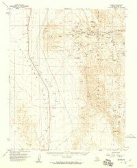
1958 · Nelson
USGS Topo · 1:62,500