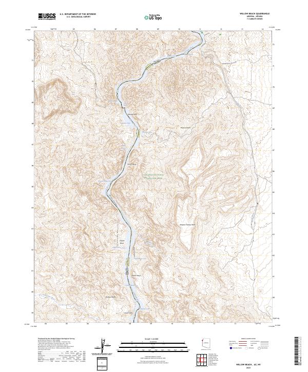
2023 Map of Willow Beach
USGS Topo · Published 2023About this map
The Colorado River carves a deep path through the desert landscape of the Arizona-Nevada border, defining the primary geography of this 2023 survey. This reach of the river is characterized by several distinctive water features, including Shallow Rapids and Roaring Rapids, alongside numerous sheltered inlets such as Queens Cove, Painted Cove, and Big Horn Cove. The terrain is strictly managed through federal designations, with the Black Canyon Wilderness to the north and the Eldorado Wilderness to the west, all contained within the Lake Mead National Recreation Area.
Find a feature on this map
40 named features on this map. Tap any name to fly to it.
Don’t see what you’re looking for? This feature index may not catch every label — zoom into the map to look around manually.
Map Details
Editions of this 2023 Willow Beach Map
This is the sole edition of this map. No revisions or reprints were ever made.
Other maps of this area

1886 · Camp Mohave
USGS Topo · 1:250,000

1892 · Camp Mohave
USGS Topo · 1:250,000

1926 · Nelson
USGS Topo · 1:96,000

1942 · Camp Mohave
USGS Topo · 1:250,000

1947 · Kingman
USGS Topo · 1:250,000

1948 · Kingman
USGS Topo · 1:250,000

1954 · Kingman
USGS Topo · 1:250,000

1955 · Kingman
USGS Topo · 1:250,000

1958 · Kingman
USGS Topo · 1:250,000
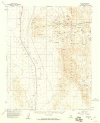
1958 · Nelson
USGS Topo · 1:62,500