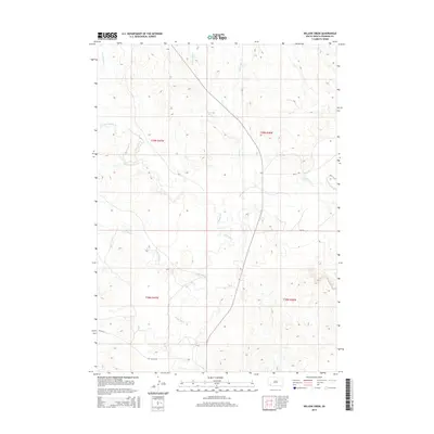
2015 Map of Willow Creek
USGS Topo · Published 2015About this map
The White River winds through this section of the Pine Ridge Reservation, serving as a primary drainage for the surrounding prairie. This area, largely defined by its intricate network of creeks and bluffs, reveals a landscape of logistical and natural importance. Historical travel routes are marked by Old Us-18, while modern connectivity is maintained through roads like Bia-16 and Bia-8. The terrain is deeply carved by watercourses such as Cedar Bluff Cr and Mule Cr, which create the distinct erosion patterns characteristic of this region in South Dakota. These drainage systems, including Willow Cr and its various forks, dictate the topography and influence the placement of regional infrastructure.
Find a feature on this map
15 named features on this map. Tap any name to fly to it.
Don’t see what you’re looking for? This feature index may not catch every label — zoom into the map to look around manually.
Map Details
Editions of this 2015 Willow Creek Map
This is the sole edition of this map. No revisions or reprints were ever made.
Other maps of this area

1951 · Rockyford SW
USGS Topo · 1:24,000

1951 · Willow Creek NW
USGS Topo · 1:24,000

1951 · Rockyford NW
USGS Topo · 1:24,000

1951 · Willow Creek NE
USGS Topo · 1:24,000

1955 · Hot Springs
USGS Topo · 1:250,000

1967 · Slim Butte NW
USGS Topo · 1:24,000

1967 · Oglala
USGS Topo · 1:24,000

1967 · Slim Butte NE
USGS Topo · 1:24,000

1967 · Willow Creek SW
USGS Topo · 1:24,000

1967 · Willow Creek
USGS Topo · 1:24,000