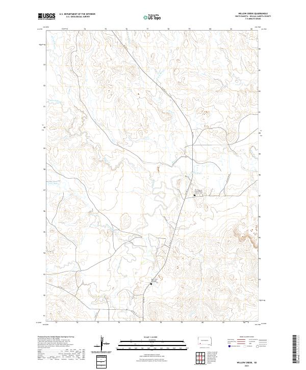
2021 Map of Willow Creek
USGS Topo · Published 2021About this map
The White River winds through this section of Oglala Lakota County, carving a path through the plains of southwestern South Dakota. This modern landscape is defined by its drainages, including Willow Cr and Mule Cr, which converge as they approach the river. For genealogists and local historians, two significant religious sites stand out along the road network: Saint John's Episcopal Church Cem located south of Old Hwy 18, and Our Ladies of Good Council Catholic Cem positioned near BIA Hwy 41. The local infrastructure follows the natural topography, with Oxbow Rd and White River Rd providing access to the river bottoms and higher elevations like those surrounding Cedar Bluff Cr. This map documents a sparsely populated but spiritually significant pocket of the Pine Ridge region.
Find a feature on this map
21 named features on this map. Tap any name to fly to it.
Don’t see what you’re looking for? This feature index may not catch every label — zoom into the map to look around manually.
Map Details
Editions of this 2021 Willow Creek Map
This is the sole edition of this map. No revisions or reprints were ever made.
Other maps of this area

1951 · Rockyford SW
USGS Topo · 1:24,000

1951 · Willow Creek NW
USGS Topo · 1:24,000

1951 · Rockyford NW
USGS Topo · 1:24,000

1951 · Willow Creek NE
USGS Topo · 1:24,000

1955 · Hot Springs
USGS Topo · 1:250,000

1967 · Slim Butte NW
USGS Topo · 1:24,000

1967 · Oglala
USGS Topo · 1:24,000

1967 · Slim Butte NE
USGS Topo · 1:24,000

1967 · Willow Creek SW
USGS Topo · 1:24,000

1967 · Willow Creek
USGS Topo · 1:24,000