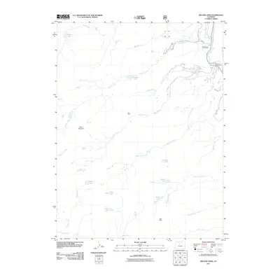
2011 Map of Willow Lakes
USGS Topo · Published 2011About this map
Red Peak and Keller Mountain dominate the high-elevation terrain of this 2011 survey, where the drainages of Gore Creek and the Blue River form a complex alpine network. The landscape is defined by its glacial cirques and numerous high-country water bodies, including the namesake Willow Lakes, Gore Lake, and Snow Lake. To the north, Boulder Creek flows east from Boulder Lake toward the Boulder Creek Campground, while the southern reaches are marked by the steep descents of Deluge Creek and South Willow Creek. A singular industrial marker, the Boss Mine, sits on the slopes above North Rock Creek, providing a specific point of interest for those studying the area's prospecting history. The map also details forest access routes such as Boulder Creek Rd and several county roads like Co Rd 1350 that skirt the edge of these peaks.
Find a feature on this map
31 named features on this map. Tap any name to fly to it.
Don’t see what you’re looking for? This feature index may not catch every label — zoom into the map to look around manually.
Map Details
Editions of this 2011 Willow Lakes Map
This is the sole edition of this map. No revisions or reprints were ever made.
Other maps of this area

1929 · Dillon
USGS Topo · 1:62,500

1933 · Mt. Powell
USGS Topo · 1:48,000

1933 · Ute Peak
USGS Topo · 1:62,500

1934 · Minturn
USGS Topo · 1:62,500

1934 · Dillon
USGS Topo · 1:62,500

1937 · Ute Peak
USGS Topo · 1:62,500

1940 · Mount Powell
USGS Topo · 1:62,500

1950 · Minturn
USGS Topo · 1:62,500

1957 · Leadville
USGS Topo · 1:250,000

1959 · Leadville
USGS Topo · 1:250,000