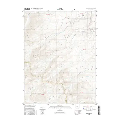
2016 Map of Willow Lakes
USGS Topo · Published 2016About this map
White River National Forest defines the high-altitude landscape shown here, where the peaks of the Gore Range divide Eagle and Summit counties. This 2016 survey provides a record of the complex network of alpine trails and water bodies that characterize this portion of the Rockies. Named peaks like Keller Mtn and Red Peak tower over numerous glacial lakes, including the eponymous Willow Lakes and the isolated Snow Lake.
Find a feature on this map
51 named features on this map. Tap any name to fly to it.
Don’t see what you’re looking for? This feature index may not catch every label — zoom into the map to look around manually.
Map Details
Editions of this 2016 Willow Lakes Map
This is the sole edition of this map. No revisions or reprints were ever made.
Other maps of this area

1929 · Dillon
USGS Topo · 1:62,500

1933 · Mt. Powell
USGS Topo · 1:48,000

1933 · Ute Peak
USGS Topo · 1:62,500

1934 · Minturn
USGS Topo · 1:62,500

1934 · Dillon
USGS Topo · 1:62,500

1937 · Ute Peak
USGS Topo · 1:62,500

1940 · Mount Powell
USGS Topo · 1:62,500

1950 · Minturn
USGS Topo · 1:62,500

1957 · Leadville
USGS Topo · 1:250,000

1959 · Leadville
USGS Topo · 1:250,000