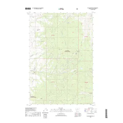
2020 Map of Willow Mountain
USGS Topo · Published 2020About this map
Bitterroot National Forest dominates this landscape in western Montana, where high peaks and deep gulches define the terrain. The central ridge is anchored by Willow Mtn and the twin Dominic Buttes, with waters shedding into the surrounding drainage network of Gold Creek and Willow Creek. To the south, Skalkaho Mtn rises above Fool Hen Lake, marking the high country before the descent toward Charleys Gulch. The map reveals a complex system of seasonal and perennial waters, including the headwaters of Saint Clair Cr and Butterfly Cr.
Find a feature on this map
56 named features on this map. Tap any name to fly to it.
Don’t see what you’re looking for? This feature index may not catch every label — zoom into the map to look around manually.
Map Details
Editions of this 2020 Willow Mountain Map
This is the sole edition of this map. No revisions or reprints were ever made.
Other maps of this area

1901 · Hamilton
USGS Topo · 1:125,000

1909 · Sapphire
USGS Topo · 1:125,000

1947 · Butte
USGS Topo · 1:250,000

1956 · Hamilton
USGS Topo · 1:250,000

1958 · Butte
USGS Topo · 1:250,000

1959 · Hamilton
USGS Topo · 1:250,000

1960 · Butte
USGS Topo · 1:250,000

1960 · Hamilton
USGS Topo · 1:250,000

1962 · Butte
USGS Topo · 1:250,000

1964 · Hamilton
USGS Topo · 1:250,000