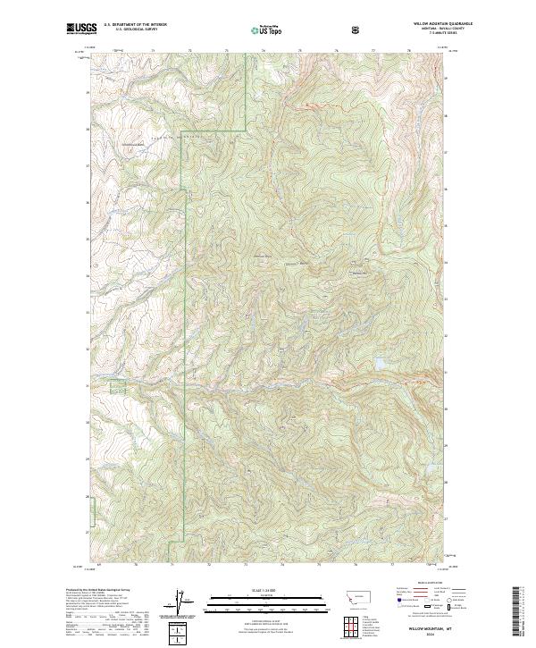
2024 Map of Willow Mountain
USGS Topo · Published 2024About this map
The Sapphire Mountains dominate the high-elevation landscape of Ravalli County within this recent survey, much of which is protected under the Bitterroot National Forest. The map documents a complex network of backcountry routes, including the Skalkaho Gird Trl and Gold Creek Trl, which navigate the steep drainage systems of Birch Creek and Willow Creek. Distinctive geological features like Schoolhouse Butte and the Dominic Buttes rise above the deep creek valleys, providing significant landmarks for navigation and local history. The presence of remote high-country water bodies such as Gleason Lake and Fool Hen Lake illustrates the alpine character of the terrain. The northern and western margins show traces of private holdings and ranching access via the Sapphire Ranch Trl and Rough Rider Trl, marking the interface between mountain wilderness and rural settlement.
Find a feature on this map
56 named features on this map. Tap any name to fly to it.
Don’t see what you’re looking for? This feature index may not catch every label — zoom into the map to look around manually.
Map Details
Editions of this 2024 Willow Mountain Map
This is the sole edition of this map. No revisions or reprints were ever made.
Other maps of this area

1901 · Hamilton
USGS Topo · 1:125,000

1909 · Sapphire
USGS Topo · 1:125,000

1947 · Butte
USGS Topo · 1:250,000

1956 · Hamilton
USGS Topo · 1:250,000

1958 · Butte
USGS Topo · 1:250,000

1959 · Hamilton
USGS Topo · 1:250,000

1960 · Butte
USGS Topo · 1:250,000

1960 · Hamilton
USGS Topo · 1:250,000

1962 · Butte
USGS Topo · 1:250,000

1964 · Hamilton
USGS Topo · 1:250,000