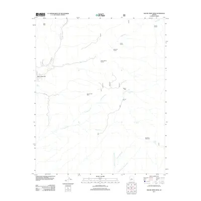
2011 Map of Willow Spring Canyon
USGS Topo · Published 2011About this map
Black Canyon City serves as the primary settlement hub along the western edge of this 2011 landscape, where residential development meets the steep drainages of the Agua Fria River. The terrain transitions quickly from the valley floor into the high elevations of Squaw Creek Mesa and the New River Mountains to the east. This area is defined by a complex network of seasonal water sources and canyons, including Willow Spring Canyon and Sycamore Canyon, which illustrate the hydraulic patterns of the Sonoran desert uplands.
Find a feature on this map
27 named features on this map. Tap any name to fly to it.
Don’t see what you’re looking for? This feature index may not catch every label — zoom into the map to look around manually.
Map Details
Editions of this 2011 Willow Spring Canyon Map
This is the sole edition of this map. No revisions or reprints were ever made.
Other maps of this area

1887 · Verde
USGS Topo · 1:250,000

1887 · Prescott
USGS Topo · 1:250,000

1892 · Verde
USGS Topo · 1:250,000

1892 · Prescott
USGS Topo · 1:250,000

1903 · Bradshaw Mountains
USGS Topo · 1:125,000

1929 · Turret Peak
USGS Topo · 1:125,000

1930 · Cave Creek
USGS Topo · 1:125,000

1933 · Turret Peak
USGS Topo · 1:125,000

1939 · Cave Creek
USGS Topo · 1:125,000

1947 · Bumblebee
USGS Topo · 1:62,500