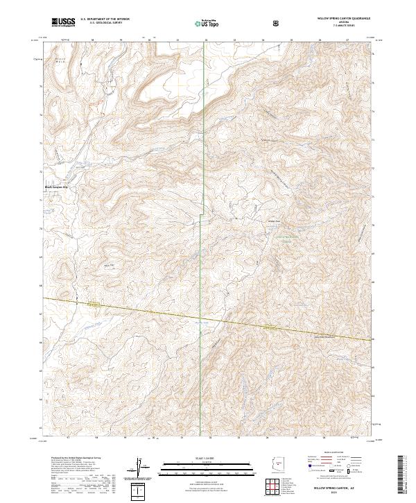
2023 Map of Willow Spring Canyon
USGS Topo · Published 2023About this map
Black Canyon City sits at the western edge of a landscape defined by dramatic elevation changes and protected desert lands. This 2023 survey documents the convergence of the Agua Fria National Monument and the Tonto National Forest, where the terrain ascends toward the New River Mountains. The drainage network is complex, featuring the Agua Fria River and numerous seasonal watercourses like Ledni Lii Creek and Odzilaayé Creek that have carved deep canyons into the plateau.
Find a feature on this map
45 named features on this map. Tap any name to fly to it.
Don’t see what you’re looking for? This feature index may not catch every label — zoom into the map to look around manually.
Map Details
Editions of this 2023 Willow Spring Canyon Map
This is the sole edition of this map. No revisions or reprints were ever made.
Other maps of this area

1887 · Verde
USGS Topo · 1:250,000

1887 · Prescott
USGS Topo · 1:250,000

1892 · Verde
USGS Topo · 1:250,000

1892 · Prescott
USGS Topo · 1:250,000

1903 · Bradshaw Mountains
USGS Topo · 1:125,000

1929 · Turret Peak
USGS Topo · 1:125,000

1930 · Cave Creek
USGS Topo · 1:125,000

1933 · Turret Peak
USGS Topo · 1:125,000

1939 · Cave Creek
USGS Topo · 1:125,000

1947 · Bumblebee
USGS Topo · 1:62,500