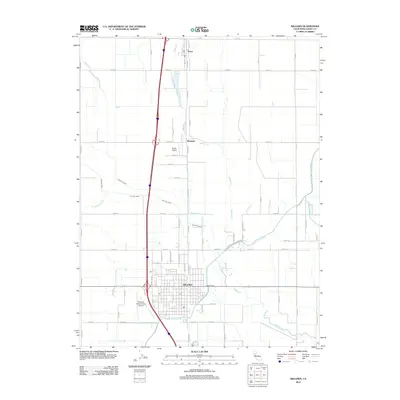
2012 Map of Willows
USGS Topo · Published 2012About this map
Willows serves as the primary hub of this Glenn County landscape, characterized by its grid of agricultural roads and critical irrigation infrastructure. The Glenn-Colusa Canal and Quint Canal cut across the Sacramento Valley floor, supporting a network of watercourses including Willow Creek and Wilson Creek. This 2012 survey illustrates the transition from the town center to more specialized sites like the Willows-Glenn County Airport and the Catholic Cem on the southeastern edge of the settlement.
Find a feature on this map
58 named features on this map. Tap any name to fly to it.
Don’t see what you’re looking for? This feature index may not catch every label — zoom into the map to look around manually.
Map Details
Editions of this 2012 Willows Map
This is the sole edition of this map. No revisions or reprints were ever made.
Other maps of this area

1904 · Walker Creek
USGS Topo · 1:31,680

1904 · Logan Creek
USGS Topo · 1:24,000

1906 · Maxwell
USGS Topo · 1:62,500

1906 · Willows
USGS Topo · 1:62,500

1914 · Orland
USGS Topo · 1:31,680

1914 · Hamilton
USGS Topo · 1:31,680

1917 · Kurand
USGS Topo · 1:31,680

1917 · Lyman
USGS Topo · 1:31,680

1917 · Jacinto
USGS Topo · 1:31,680

1917 · Logandale
USGS Topo · 1:31,680