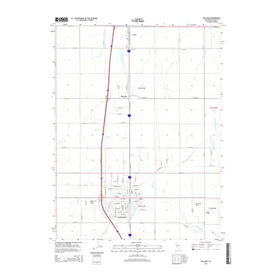
2015 Map of Willows
USGS Topo · Published 2015About this map
Willows serves as the primary hub in this portion of the Sacramento Valley, anchoring a landscape defined by organized agriculture and vital water management. The town's grid is dense with residential streets such as E Walnut St and W Sycamore St, while the Willows-Glenn County Airport and the Catholic Cemetery mark the community's outskirts. This 2015 survey illustrates how irrigation systems like the Glenn-Colusa Canal and Quint Canal support the surrounding farmland, which is further divided by numerous county roads following the Public Land Survey System grid.
Find a feature on this map
78 named features on this map. Tap any name to fly to it.
Don’t see what you’re looking for? This feature index may not catch every label — zoom into the map to look around manually.
Map Details
Editions of this 2015 Willows Map
This is the sole edition of this map. No revisions or reprints were ever made.
Other maps of this area

1904 · Walker Creek
USGS Topo · 1:31,680

1904 · Logan Creek
USGS Topo · 1:24,000

1906 · Maxwell
USGS Topo · 1:62,500

1906 · Willows
USGS Topo · 1:62,500

1914 · Orland
USGS Topo · 1:31,680

1914 · Hamilton
USGS Topo · 1:31,680

1917 · Kurand
USGS Topo · 1:31,680

1917 · Lyman
USGS Topo · 1:31,680

1917 · Jacinto
USGS Topo · 1:31,680

1917 · Logandale
USGS Topo · 1:31,680