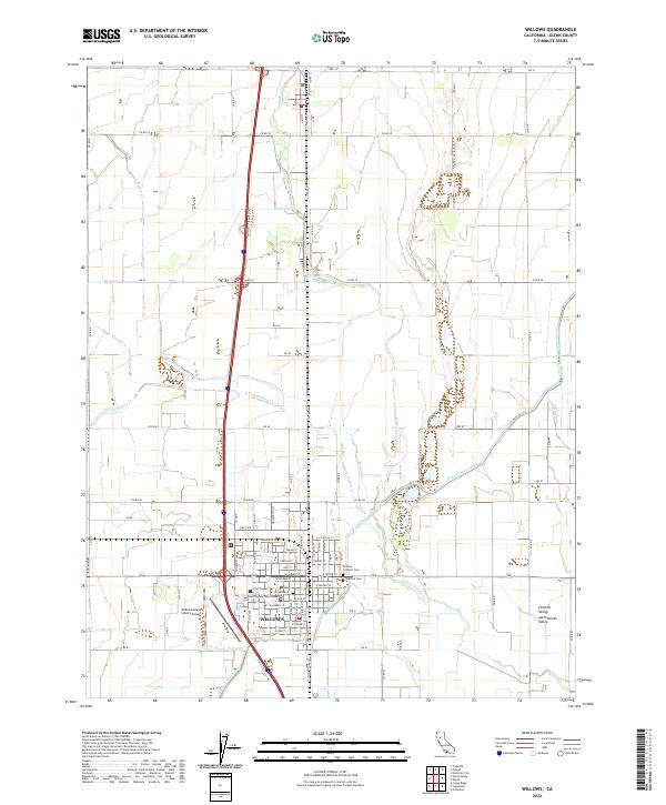
2022 Map of Willows
USGS Topo · Published 2022About this map
The city of Willows serves as a vital hub within the Sacramento Valley, anchoring a landscape defined by industrial-scale agriculture and water management. As the county seat, the Glenn County Courthouse stands at the center of a grid that gives way to the irrigation networks essential to this portion of the Central Valley. Major water projects are evident through the Glenn-Colusa Canal and Quint Canal, which traverse the terrain alongside natural drainage such as S Fork Willow Cr and Walker Cr. This intersection of natural and engineered waterways illustrates the region's total commitment to agricultural production. To the south, the Willows-Glenn County Airport provides an aerial gateway to the valley, while local history is preserved at the Willows Cem and Willows Catholic Cem on the town's eastern edge.
Find a feature on this map
83 named features on this map. Tap any name to fly to it.
Don’t see what you’re looking for? This feature index may not catch every label — zoom into the map to look around manually.
Map Details
Editions of this 2022 Willows Map
This is the sole edition of this map. No revisions or reprints were ever made.
Other maps of this area

1904 · Walker Creek
USGS Topo · 1:31,680

1904 · Logan Creek
USGS Topo · 1:24,000

1906 · Maxwell
USGS Topo · 1:62,500

1906 · Willows
USGS Topo · 1:62,500

1914 · Orland
USGS Topo · 1:31,680

1914 · Hamilton
USGS Topo · 1:31,680

1917 · Kurand
USGS Topo · 1:31,680

1917 · Lyman
USGS Topo · 1:31,680

1917 · Jacinto
USGS Topo · 1:31,680

1917 · Logandale
USGS Topo · 1:31,680