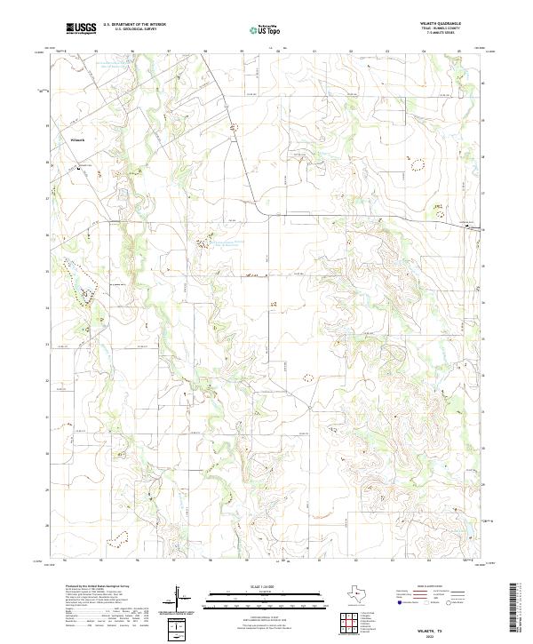
2022 Map of Wilmeth
USGS Topo · Published 2022About this map
Wilmeth anchors the western edge of this West Texas landscape, serving as a focal point in a region defined by agricultural water management and intermittent drainage. The area's history is preserved at the Wilmeth Cem and the Lutheran Cem, marking the heritage of early settlers who navigated the divides between Valley Creek and Mustang Br.
Find a feature on this map
36 named features on this map. Tap any name to fly to it.
Don’t see what you’re looking for? This feature index may not catch every label — zoom into the map to look around manually.
Map Details
Editions of this 2022 Wilmeth Map
This is the sole edition of this map. No revisions or reprints were ever made.
Other maps of this area

1890 · Abilene
USGS Topo · 1:125,000

1891 · Hayrick
USGS Topo · 1:125,000

1892 · Abilene
USGS Topo · 1:125,000

1892 · Ballinger
USGS Topo · 1:125,000

1893 · Sweetwater
USGS Topo · 1:125,000

1894 · Hayrick
USGS Topo · 1:125,000

1921 · Hatchel
USGS Topo · 1:31,680

1921 · Maverick
USGS Topo · 1:31,680

1921 · Quarry Creek
USGS Topo · 1:31,680

1954 · Brownwood
USGS Topo · 1:250,000