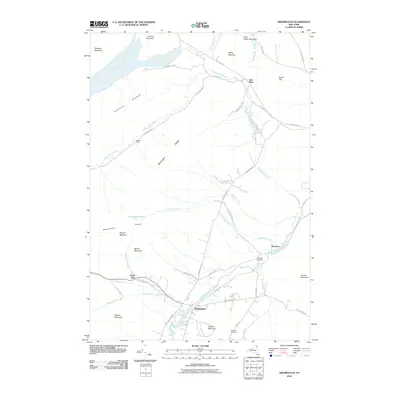
2010 Map of Wilmington
USGS Topo · Published 2010About this map
The West Branch Ausable River winds through this northern New York landscape, anchoring a valley of small settlements and mountain peaks within the Adirondack Park. In the years following the turn of the millennium, the village of Wilmington and the smaller community of Haselton serve as the primary hubs of habitation, connected by Hazelton Rd and State Hwy 86 Scn. The presence of East Kilns and Middle Kilns in the northern portion of the quadrangle points to the region's industrial past, while the Haselton Cemetery and Malbone Cemetery offer points of interest for genealogists tracing local families. Dominant landforms like the Wilmington Range and Stephenson Range hem in the waterways, including Little Black Brook and Pettigrew Brook, illustrating the complex drainage patterns that define this high-country terrain. Historic local routes such as Turnpike Rd and Silver Lake Rd provide access to the various mountains and valleys.
Find a feature on this map
51 named features on this map. Tap any name to fly to it.
Don’t see what you’re looking for? This feature index may not catch every label — zoom into the map to look around manually.
Map Details
Editions of this 2010 Wilmington Map
This is the sole edition of this map. No revisions or reprints were ever made.
Other maps of this area

1895 · Ausable
USGS Topo · 1:62,500

1896 · Lake Placid
USGS Topo · 1:62,500

1898 · Lake Placid
USGS Topo · 1:62,500

1903 · Ausable
USGS Topo · 1:62,500

1911 · Lyon Mountain
USGS Topo · 1:62,500

1913 · Dannemora
USGS Topo · 1:62,500

1913 · Lyon Mountain
USGS Topo · 1:62,500

1931 · Lyon Mountain
USGS Topo · 1:62,500

1950 · Lake Champlain
USGS Topo · 1:250,000

1953 · Lake Placid
USGS Topo · 1:62,500