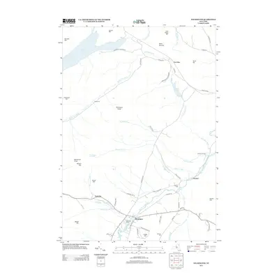
2013 Map of Wilmington
USGS Topo · Published 2013About this map
Wilmington serves as the central hub of this northern New York landscape, situated where the West Br Ausable River flows past Quaker Mtn. The 2013 survey illustrates a region defined by its historical kilns and mountain ranges, with settlements like East Kilns and Middle Kilns hinting at the area's industrial past within the Adirondack Park Preserve. Local genealogy is anchored by sites such as Haselton Cem and Malbone Cem, while the unique presence of North Pole and North Pole Resorts highlights the region's mid-century identity as a destination.
Find a feature on this map
63 named features on this map. Tap any name to fly to it.
Don’t see what you’re looking for? This feature index may not catch every label — zoom into the map to look around manually.
Map Details
Editions of this 2013 Wilmington Map
This is the sole edition of this map. No revisions or reprints were ever made.
Other maps of this area

1895 · Ausable
USGS Topo · 1:62,500

1896 · Lake Placid
USGS Topo · 1:62,500

1898 · Lake Placid
USGS Topo · 1:62,500

1903 · Ausable
USGS Topo · 1:62,500

1911 · Lyon Mountain
USGS Topo · 1:62,500

1913 · Dannemora
USGS Topo · 1:62,500

1913 · Lyon Mountain
USGS Topo · 1:62,500

1931 · Lyon Mountain
USGS Topo · 1:62,500

1950 · Lake Champlain
USGS Topo · 1:250,000

1953 · Lake Placid
USGS Topo · 1:62,500