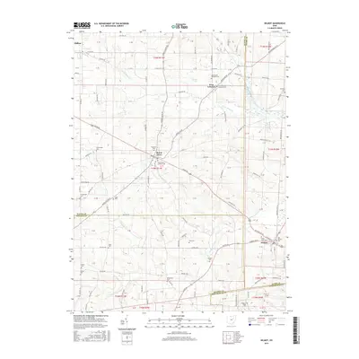
2016 Map of Wilmot
USGS Topo · Published 2016About this map
Mount Eaton and Wilmot anchor this rural landscape at the crossroads of Stark, Wayne, Holmes, and Tuscarawas counties. The terrain is defined by the winding paths of the N Fork Sugar Cr and Middle Fork Sugar Cr, which dictate the local road network and agricultural boundaries. This map is particularly valuable for genealogical research, documenting numerous family and community burial sites such as the Hershberger Cem, Yoder Cem, and Keim Cem.
Find a feature on this map
62 named features on this map. Tap any name to fly to it.
Don’t see what you’re looking for? This feature index may not catch every label — zoom into the map to look around manually.
Map Details
Editions of this 2016 Wilmot Map
This is the sole edition of this map. No revisions or reprints were ever made.
Other maps of this area

1901 · Massillon
USGS Topo · 1:62,500

1901 · Wooster
USGS Topo · 1:62,500

1903 · Massillon
USGS Topo · 1:62,500

1903 · Wooster
USGS Topo · 1:62,500

1914 · Navarre
USGS Topo · 1:62,500

1915 · Millersburg
USGS Topo · 1:62,500

1943 · Millersburg
USGS Topo · 1:62,500

1944 · Navarre
USGS Topo · 1:62,500

1951 · Canton
USGS Topo · 1:250,000

1953 · Canton
USGS Topo · 1:250,000