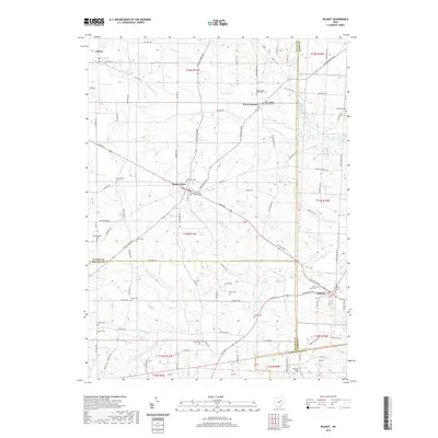
2019 Map of Wilmot
USGS Topo · Published 2019About this map
The rolling agricultural landscape of Stark, Wayne, and Holmes counties converges in this detailed modern survey of the Wilmot and Mount Eaton vicinities. These long-established farming communities are defined by their complex network of township and county roads, such as S Mount Eaton Rd and Massillon Rd, which thread through a terrain carved by the N Fork Sugar Cr and Middle Fork Sugar Cr.
Find a feature on this map
109 named features on this map. Tap any name to fly to it.
Don’t see what you’re looking for? This feature index may not catch every label — zoom into the map to look around manually.
Map Details
Editions of this 2019 Wilmot Map
This is the sole edition of this map. No revisions or reprints were ever made.
Other maps of this area

1901 · Massillon
USGS Topo · 1:62,500

1901 · Wooster
USGS Topo · 1:62,500

1903 · Massillon
USGS Topo · 1:62,500

1903 · Wooster
USGS Topo · 1:62,500

1914 · Navarre
USGS Topo · 1:62,500

1915 · Millersburg
USGS Topo · 1:62,500

1943 · Millersburg
USGS Topo · 1:62,500

1944 · Navarre
USGS Topo · 1:62,500

1951 · Canton
USGS Topo · 1:250,000

1953 · Canton
USGS Topo · 1:250,000