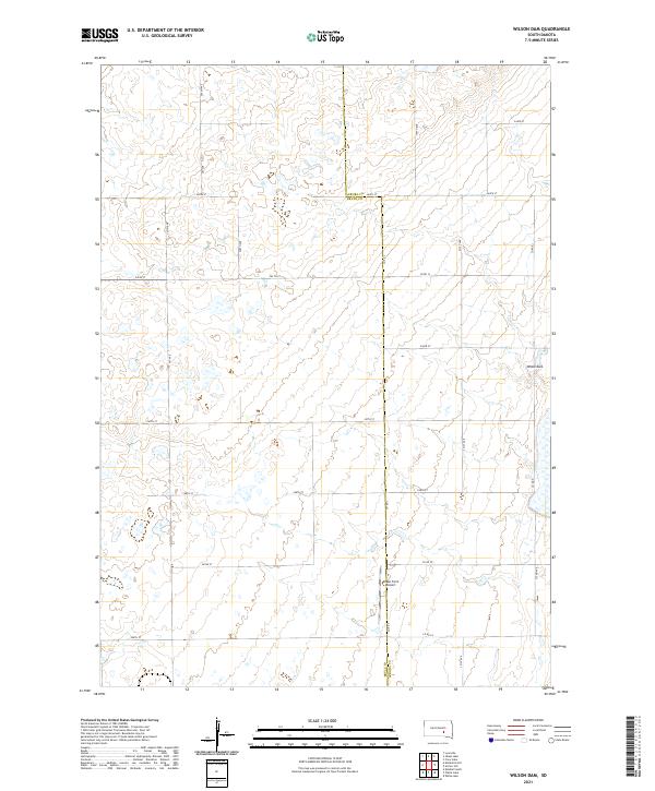
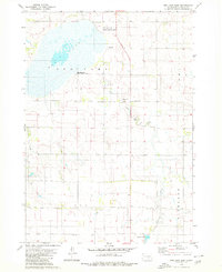
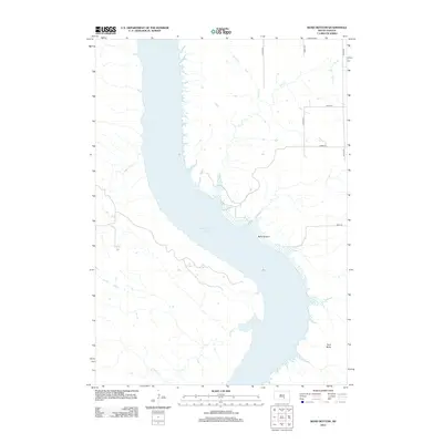
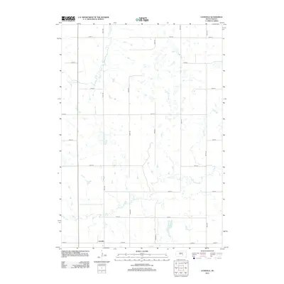
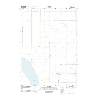
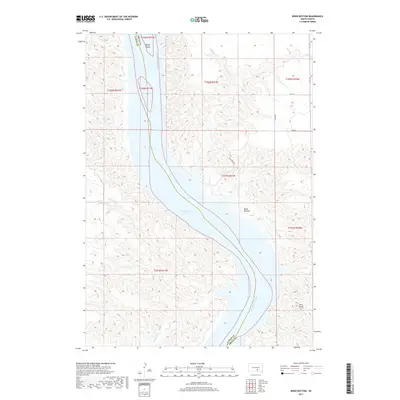
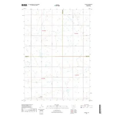
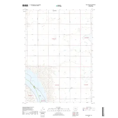
2021 Map of Wilson Dam
USGS Topo · Published 2021About this map
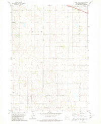
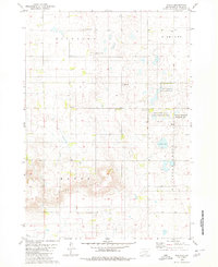
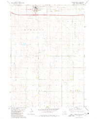
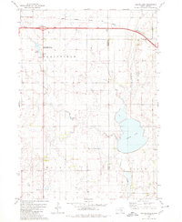
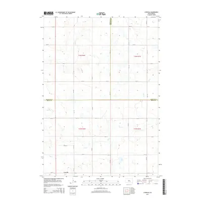
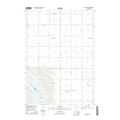
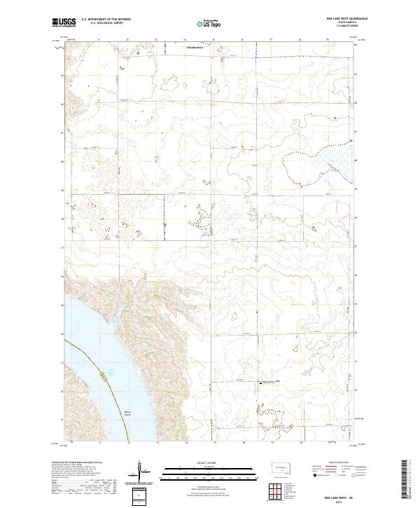
The border between Aurora Co and Brule Co runs north-to-south through this section of the Great Plains, defining a landscape of agriculture and sparse infrastructure. The terrain is marked by numerous small depressions and ephemeral wetlands typical of the region's prairie pothole topography. Transport is centered on a precise grid of rural routes, including 244th St and 367th Ave, which service isolated homesteads and farmland.
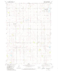
Find a feature on this map
30 named features on this map. Tap any name to fly to it.
Don’t see what you’re looking for? This feature index may not catch every label — zoom into the map to look around manually.
Map Details
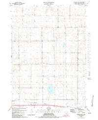
Editions of this 2021 Wilson Dam Map
This is the sole edition of this map. No revisions or reprints were ever made.
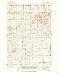
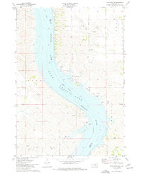
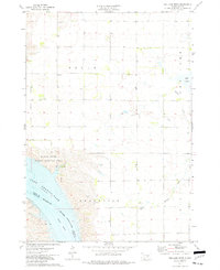
Historical Maps of Patten Township Through Time
61 maps found

1941 Kimball North
Brule County, SD
1951 Kimball North
Brule County, SD
1974 Bond Bottom
Brule County, SD
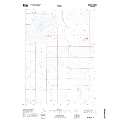
1974 Red Lake West
Brule County, SD
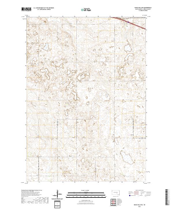
1979 Bijou Hills NE
Brule County, SD
1979 Eagle
Brule County, SD
1979 Kimball South
Brule County, SD
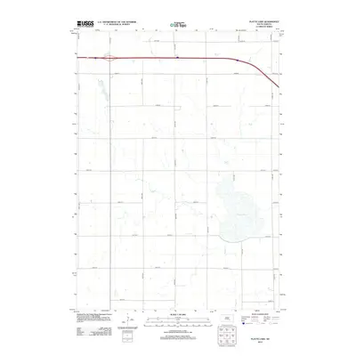
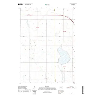
1979 Platte Lake
Brule County, SD
1979 Red Lake East
Brule County, SD
1980 Snow Lake
Brule County, SD

1982 Kimball North
Brule County, SD
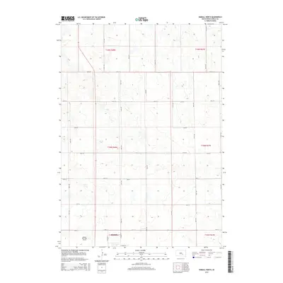
1982 Lyonville
Brule County, SD
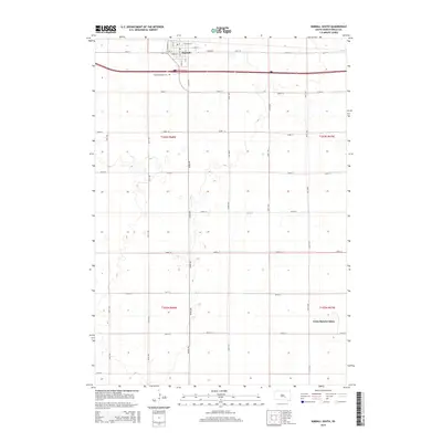
1983 Pukwana SE
Brule County, SD

2012 Bijou Hills NE
Brule County, SD
2012 Bond Bottom
Brule County, SD
2012 Eagle
Brule County, SD
2012 Kimball North
Brule County, SD
2012 Kimball South
Brule County, SD
2012 Lyonville
Brule County, SD
2012 Platte Lake
Brule County, SD
2012 Pukwana SE
Brule County, SD
2012 Red Lake East
Brule County, SD
2012 Red Lake West
Brule County, SD
2012 Snow Lake
Brule County, SD
2012 Wilson Dam
Brule County, SD
2015 Bijou Hills NE
Brule County, SD
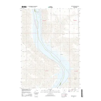
2015 Bond Bottom
Brule County, SD
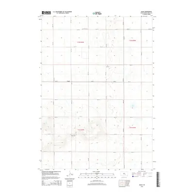
2015 Eagle
Brule County, SD
2015 Kimball North
Brule County, SD
2015 Kimball South
Brule County, SD
2015 Lyonville
Brule County, SD
2015 Platte Lake
Brule County, SD
2015 Pukwana SE
Brule County, SD
2015 Red Lake East
Brule County, SD
2015 Red Lake West
Brule County, SD
2015 Snow Lake
Brule County, SD
2015 Wilson Dam
Brule County, SD
2017 Bijou Hills NE
Brule County, SD
2017 Bond Bottom
Brule County, SD
2017 Eagle
Brule County, SD
2017 Kimball North
Brule County, SD
2017 Kimball South
Brule County, SD
2017 Lyonville
Brule County, SD
2017 Platte Lake
Brule County, SD
2017 Pukwana SE
Brule County, SD
2017 Red Lake East
Brule County, SD
2017 Red Lake West
Brule County, SD
2017 Snow Lake
Brule County, SD
2017 Wilson Dam
Brule County, SD
2021 Bijou Hills NE
Brule County, SD
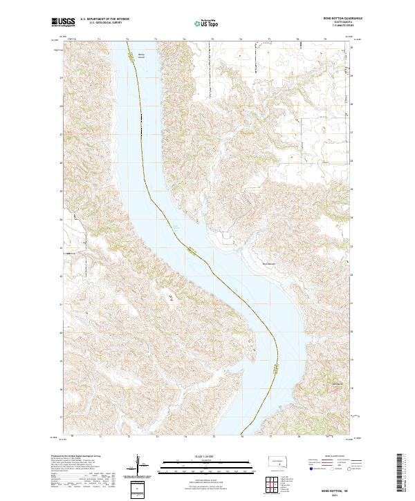
2021 Bond Bottom
Brule County, SD
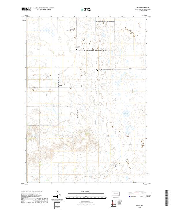
2021 Eagle
Brule County, SD
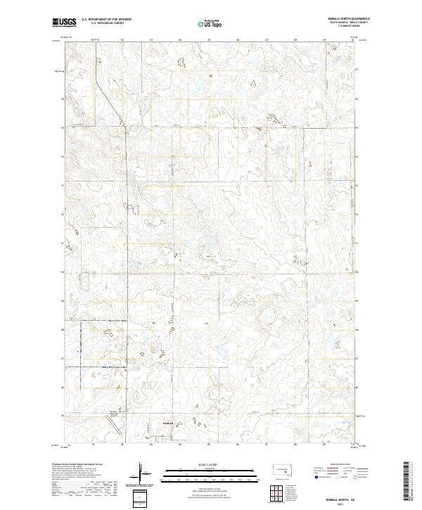
2021 Kimball North
Brule County, SD
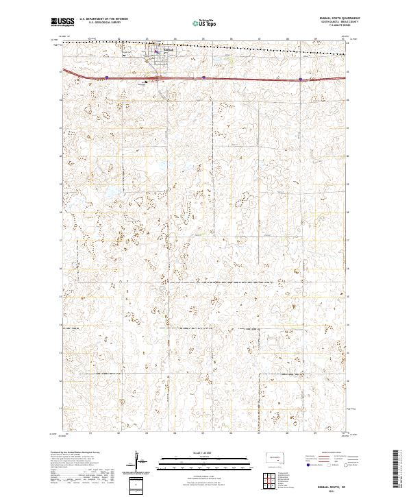
2021 Kimball South
Brule County, SD
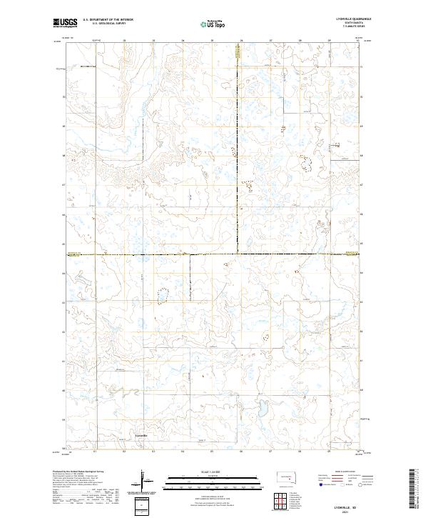
2021 Lyonville
Brule County, SD
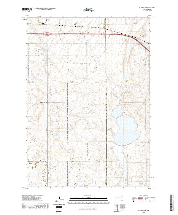
2021 Platte Lake
Brule County, SD
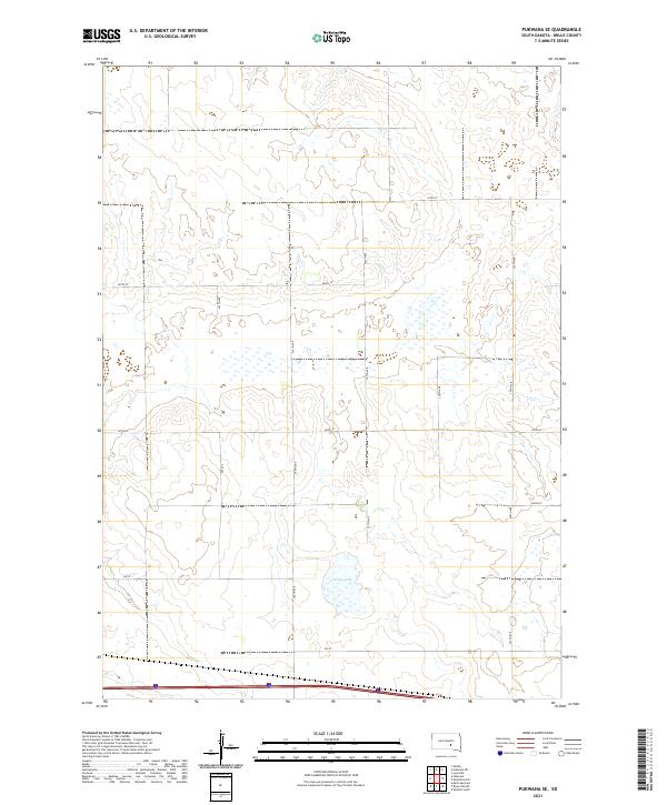
2021 Pukwana SE
Brule County, SD
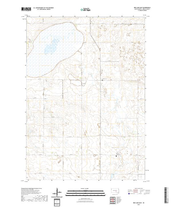
2021 Red Lake East
Brule County, SD
2021 Red Lake West
Brule County, SD
2021 Snow Lake
Brule County, SD
2021 Wilson Dam
Brule County, SD
Featured Locations
- Willow Lake Township, SD
- Plainfield Township, SD
- Lake Township, SD
- Patten Township, SD
- White Lake Township, SD