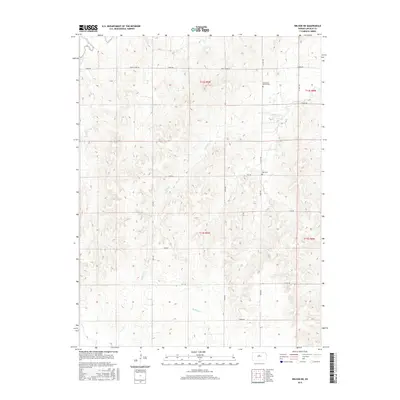
2015 Map of Wilson NE
USGS Topo · Published 2015About this map
The Saline River cuts through the northwest corner of this Lincoln County landscape, defining a terrain of deeply etched drainage basins. The area's rural character is anchored by small burial grounds like Emmanuel Church Cem in the northeast and Voss Cem further south along N 120th RD. These landmarks serve as vital points of reference for genealogists tracing early families in the region. The map shows an extensive network of creeks, including Bullfoot Cr and Buffalo Cr, which carve through the plains. The rectangular grid of section lines is marked by roads named for the natural environment, such as Fox Dr, Elk Dr, and Bison Dr, reflecting the prairie history of these townships. This topographic record captures the transition between the uplands and the river valley before the modern era.
Find a feature on this map
25 named features on this map. Tap any name to fly to it.
Don’t see what you’re looking for? This feature index may not catch every label — zoom into the map to look around manually.
Map Details
Editions of this 2015 Wilson NE Map
This is the sole edition of this map. No revisions or reprints were ever made.
Other maps of this area

1894 · Ellsworth
USGS Topo · 1:125,000

1894 · Beloit
USGS Topo · 1:125,000

1955 · Great Bend
USGS Topo · 1:250,000

1955 · Beloit
USGS Topo · 1:250,000

1956 · Wilson
USGS Topo · 1:24,000

1957 · Great Bend
USGS Topo · 1:250,000

1957 · Westfall SW
USGS Topo · 1:24,000

1957 · Black Wolf
USGS Topo · 1:24,000

1958 · Great Bend
USGS Topo · 1:250,000

1959 · Beloit
USGS Topo · 1:250,000