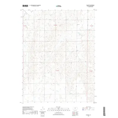
2018 Map of Wilson NE
USGS Topo · Published 2018About this map
The Saline River winds through the northern portion of this Lincoln County landscape, defining a terrain shaped by numerous drainages. A network of rural roads, including Rock Island Rd and E Iron Dr, provides access to the higher ground between the creek beds. Local history is anchored at Emanuels Cem and Voss Cem, small rural burial grounds that serve as significant landmarks for genealogists tracing early families in the region. The map reveals an intricate hydrological system where Bullfoot Cr, Cow Cr, and Buffalo Cr carve through the southern sections. This 2018 survey illustrates the persistent agricultural and pastoral character of the area, where the road grid often respects the natural obstacles of the E Twin Cr and other tributaries.
Find a feature on this map
27 named features on this map. Tap any name to fly to it.
Don’t see what you’re looking for? This feature index may not catch every label — zoom into the map to look around manually.
Map Details
Editions of this 2018 Wilson NE Map
This is the sole edition of this map. No revisions or reprints were ever made.
Other maps of this area

1894 · Ellsworth
USGS Topo · 1:125,000

1894 · Beloit
USGS Topo · 1:125,000

1955 · Great Bend
USGS Topo · 1:250,000

1955 · Beloit
USGS Topo · 1:250,000

1956 · Wilson
USGS Topo · 1:24,000

1957 · Great Bend
USGS Topo · 1:250,000

1957 · Westfall SW
USGS Topo · 1:24,000

1957 · Black Wolf
USGS Topo · 1:24,000

1958 · Great Bend
USGS Topo · 1:250,000

1959 · Beloit
USGS Topo · 1:250,000