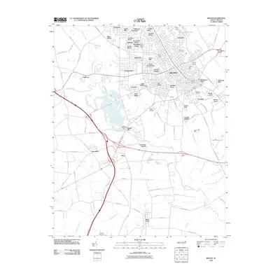
2010 Map of Wilson
USGS Topo · Published 2010About this map
The city of Wilson serves as the focal point for this eastern North Carolina landscape, where urban neighborhoods like Cavalier Park, Whitfield Homes, and Belle Meade transition into the surrounding agricultural and swamp lands. The area is defined by its complex hydrology, with the winding Contentnea Creek and Hominy Swamp cutting through the terrain. Civil infrastructure is prominently featured, including the Wiggins Mill Dam on the Wiggins Millpond and the Toisnot Reservoir to the northeast. Notable community landmarks such as the Wilson County Speedway and the Wilson Post Office are recorded alongside historic grounds like Maplewood Cemetery and Rest Haven Cemetery. This survey documents the intersection of suburban growth and traditional water-driven geography, evidenced by the numerous named residential subdivisions and the persistent wetlands that border the community's expansion.
Find a feature on this map
90 named features on this map. Tap any name to fly to it.
Don’t see what you’re looking for? This feature index may not catch every label — zoom into the map to look around manually.
Map Details
Editions of this 2010 Wilson Map
This is the sole edition of this map. No revisions or reprints were ever made.
Other maps of this area

1902 · Kenly
USGS Topo · 1:62,500

1902 · Rocky Mount
USGS Topo · 1:62,500

1902 · Spring Hope
USGS Topo · 1:62,500

1903 · Kenly
USGS Topo · 1:62,500

1904 · Rocky Mount
USGS Topo · 1:62,500

1904 · Springhope
USGS Topo · 1:62,500

1904 · Wilson
USGS Topo · 1:62,500

1953 · Rocky Mount
USGS Topo · 1:250,000

1953 · Raleigh
USGS Topo · 1:250,000

1954 · Rocky Mount
USGS Topo · 1:250,000