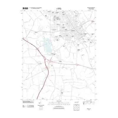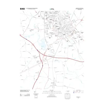
2022 Map of Wilson
USGS Topo · Published 2022About this map
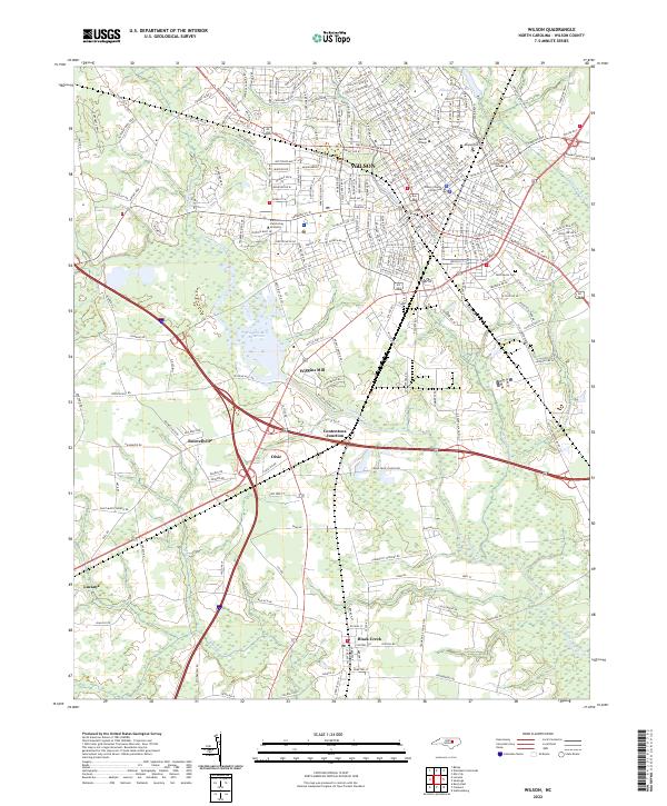
Wilson serves as the central hub of this 2022 survey, illustrating the dense street grid and educational infrastructure of the city. The presence of Barton College and Wilson Community College highlights the area's academic importance, while the Wilson County Courthouse marks the administrative heart of the county seat. The landscape is defined by the winding course of Contentnea Creek, which feeds into the Wiggins Mill Reservoir and passes near the settlement of Wiggins Mill.
Find a feature on this map
43 named features on this map. Tap any name to fly to it.
Don’t see what you’re looking for? This feature index may not catch every label — zoom into the map to look around manually.
Map Details
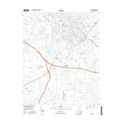
Editions of this 2022 Wilson Map
This is the sole edition of this map. No revisions or reprints were ever made.
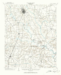
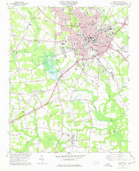
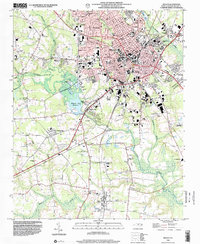
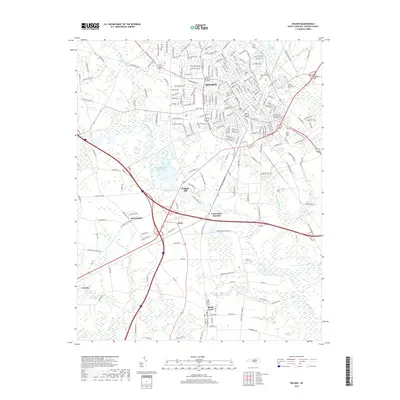
Historical Maps of Wilson Through Time
8 maps found