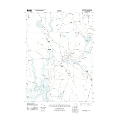
2012 Map of Winchendon
USGS Topo · Published 2012About this map
Winchendon Springs and Waterville anchor a landscape defined by the winding course of the Millers River as it flows through this northern Massachusetts borderland. The topography is dominated by numerous glacial hills and water bodies, from the sprawling Lake Monomonac on the New Hampshire line to the extensive wetlands of the Birch Hill Wildlife Area. Settlement patterns here reflect a long history of water-powered industry and community growth, with smaller clusters like Hydeville and Glenallen situated near river bends and mill ponds. Genealogists will find a high density of burial sites including Old Center Cem and Rand Cem. Further south, the map details more contemporary land uses such as the Boy Scouts of America Camp Watalin Camping Area near Lake Denison, while the remote Parkers Station points to the area's rail heritage.
Find a feature on this map
148 named features on this map. Tap any name to fly to it.
Don’t see what you’re looking for? This feature index may not catch every label — zoom into the map to look around manually.
Map Details
Editions of this 2012 Winchendon Map
This is the sole edition of this map. No revisions or reprints were ever made.
Other maps of this area

1887 · Winchendon
USGS Topo · 1:62,500

1887 · Fitchburg
USGS Topo · 1:62,500

1889 · Fitchburg
USGS Topo · 1:62,500

1890 · Winchendon
USGS Topo · 1:62,500

1893 · Fitchburg
USGS Topo · 1:62,500

1894 · Winchendon
USGS Topo · 1:62,500

1898 · Monadnock
USGS Topo · 1:62,500

1900 · Peterboro
USGS Topo · 1:62,500

1931 · Fitchburg
USGS Topo · 1:48,000

1932 · Winchendon
USGS Topo · 1:48,000