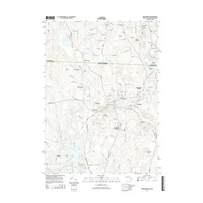
2015 Map of Winchendon
USGS Topo · Published 2015About this map
The Millers River flows through a landscape defined by the intersection of water and industry, where settlements like Waterville and Hydeville reflect the region's historic manufacturing character. This 2015 study detail shows the complex hydrology of northern Massachusetts and southern New Hampshire, featuring numerous reservoirs and mill ponds such as Damon Mill Pond and Whites Mill Pond. The terrain is punctuated by significant rises including Benjamin Hill and Thrasher Hill, which dictate the winding paths of roads like Old Military Rd and Old Turnpike Rd. Central to the area is the town of Winchendon, surrounded by smaller hamlets like Bullardville and Winchendon Springs. Genealogists will find a wealth of data in the many burial sites across the landscape, from Hillside Cem near the state line to the Old Center Cem in Winchendon Center. This survey provides a contemporary perspective on a place where early village clusters and water-powered mill sites remain deeply etched into the geography.
Find a feature on this map
152 named features on this map. Tap any name to fly to it.
Don’t see what you’re looking for? This feature index may not catch every label — zoom into the map to look around manually.
Map Details
Editions of this 2015 Winchendon Map
This is the sole edition of this map. No revisions or reprints were ever made.
Other maps of this area

1887 · Winchendon
USGS Topo · 1:62,500

1887 · Fitchburg
USGS Topo · 1:62,500

1889 · Fitchburg
USGS Topo · 1:62,500

1890 · Winchendon
USGS Topo · 1:62,500

1893 · Fitchburg
USGS Topo · 1:62,500

1894 · Winchendon
USGS Topo · 1:62,500

1898 · Monadnock
USGS Topo · 1:62,500

1900 · Peterboro
USGS Topo · 1:62,500

1931 · Fitchburg
USGS Topo · 1:48,000

1932 · Winchendon
USGS Topo · 1:48,000