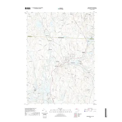
2018 Map of Winchendon
USGS Topo · Published 2018About this map
The Millers River serves as the industrial and geographic spine of this northern Massachusetts landscape, winding through a sequence of historic mill-influenced settlements. From Waterville and Hydeville to the central hub of Winchendon, the map illustrates a corridor defined by water power and rail connections, including the site of Parkers Station to the southwest. The town's burial grounds, such as Riverside Cem and Calvary Cem, are clearly mapped near the village centers, while the Old Center Cem stands as a point of interest for those tracing the community's early origins.
Find a feature on this map
149 named features on this map. Tap any name to fly to it.
Don’t see what you’re looking for? This feature index may not catch every label — zoom into the map to look around manually.
Map Details
Editions of this 2018 Winchendon Map
This is the sole edition of this map. No revisions or reprints were ever made.
Other maps of this area

1887 · Winchendon
USGS Topo · 1:62,500

1887 · Fitchburg
USGS Topo · 1:62,500

1889 · Fitchburg
USGS Topo · 1:62,500

1890 · Winchendon
USGS Topo · 1:62,500

1893 · Fitchburg
USGS Topo · 1:62,500

1894 · Winchendon
USGS Topo · 1:62,500

1898 · Monadnock
USGS Topo · 1:62,500

1900 · Peterboro
USGS Topo · 1:62,500

1931 · Fitchburg
USGS Topo · 1:48,000

1932 · Winchendon
USGS Topo · 1:48,000