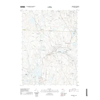
2021 Map of Winchendon
USGS Topo · Published 2021About this map
Winchendon sits at the heart of this landscape, where the Millers River and Otter River converge amid a complex network of wetlands and ponds. The area's industrial and social evolution is marked by several satellite settlements like Winchendon Springs, Glenallen, and Waterville. Modern conservation and recreational efforts are visible in the conversion of former rail corridors into the Ware River Trail and the North Central Pathway Trail, which now link these historic centers.
Find a feature on this map
63 named features on this map. Tap any name to fly to it.
Don’t see what you’re looking for? This feature index may not catch every label — zoom into the map to look around manually.
Map Details
Editions of this 2021 Winchendon Map
This is the sole edition of this map. No revisions or reprints were ever made.
Other maps of this area

1887 · Winchendon
USGS Topo · 1:62,500

1887 · Fitchburg
USGS Topo · 1:62,500

1889 · Fitchburg
USGS Topo · 1:62,500

1890 · Winchendon
USGS Topo · 1:62,500

1893 · Fitchburg
USGS Topo · 1:62,500

1894 · Winchendon
USGS Topo · 1:62,500

1898 · Monadnock
USGS Topo · 1:62,500

1900 · Peterboro
USGS Topo · 1:62,500

1931 · Fitchburg
USGS Topo · 1:48,000

1932 · Winchendon
USGS Topo · 1:48,000