Loading...
Loading map...2023 Map of Winchester
USGS Topo · Published 2023About this map
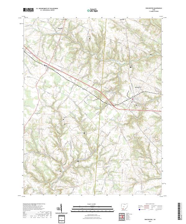
The Brown County and Adams County line divides this landscape of winding creek beds and family-named landmarks. Centered on the village of Winchester, the map reveals a high concentration of burial grounds such as Fincastle Cem and Independence Cem, providing a detailed record for genealogical study in southern Ohio. The terrain is defined by the drainage basins of West Fork Ohio Brush Creek and West Fork Eagle Creek, which create a complex network of ridges and hollows.
Find a feature on this map
84 named features on this map. Tap any name to fly to it.
Don’t see what you’re looking for? This feature index may not catch every label — zoom into the map to look around manually.
Map Details
Date Portrayed2023
Date Published2023
PublisherU.S. Geological Survey
Map TypeTopographic
Scale1:24000
Physical Dimensions24 x 29 inches
Editions of this 2023 Winchester Map
This is the sole edition of this map. No revisions or reprints were ever made.
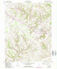
Historical Maps of Fincastle Through Time
Featured Locations
Source Details
SourceU.S. Geological Survey
CopyrightPublic Domain