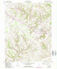
1961 Map of Winchester
USGS Topo · Published 1987About this map
Winchester and the surrounding borderlands of the Virginia Military District are meticulously captured in this update to a mid-century survey. The landscape is defined by the Norfolk and Western railroad cutting through the terrain, connecting the village of Macon to the larger hub of Winchester. Agriculture and small-scale settlement patterns are evident through the numerous family-named roads like Schweighart Road and Mahaffey Road, which link the various townships of Jackson, Wayne, and Eagle.
Find a feature on this map
58 named features on this map. Tap any name to fly to it.
Don’t see what you’re looking for? This feature index may not catch every label — zoom into the map to look around manually.
Map Details
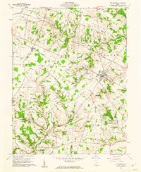
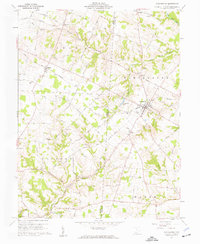
Editions of this 1961 Winchester Map
Other maps of this area

1917 · Hillsboro
USGS Topo · 1:62,500

1917 · Sardinia
USGS Topo · 1:62,500

1918 · Seaman
USGS Topo · 1:62,500

1928 · Higginsport
USGS Topo · 1:48,000

1931 · Higginsport
USGS Topo · 1:62,500

1944 · Hillsboro
USGS Topo · 1:62,500

1944 · Sardinia
USGS Topo · 1:62,500

1947 · Columbus
USGS Topo · 1:250,000

1957 · Huntington
USGS Topo · 1:250,000

1960 · Huntington
USGS Topo · 1:250,000