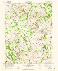
1961 Map of Winchester
USGS Topo · Published 1962About this map
The boundary between Brown Co Adams Co runs through this landscape of the Virginia Military District, where the town of Winchester serves as a central hub for the surrounding agricultural townships. The Norfolk And Western railway provides a straight transit line through the terrain, connecting the smaller settlements of Macon and Winchester. To the north, Fincastle sits near the winding West Fork Ohio Brush Creek, while the southern reaches are marked by the waters of the Cherry Fork. Numerous small family and community burial grounds, such as Independence Cem and Rickey Cem, are scattered across the landscape, providing essential data for genealogical research. Ancient history is present as well, noted by the Indian Mound located north of Winchester Lake. The network of rural roads, including Greathouse Road and Juillerat Road, illustrates the established 1960s rural settlement pattern.
Find a feature on this map
51 named features on this map. Tap any name to fly to it.
Don’t see what you’re looking for? This feature index may not catch every label — zoom into the map to look around manually.
Map Details
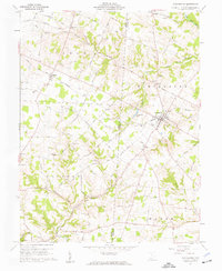
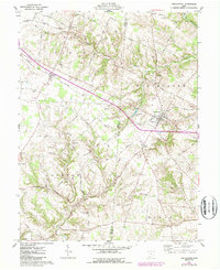
Editions of this 1961 Winchester Map
Other maps of this area

1917 · Hillsboro
USGS Topo · 1:62,500

1917 · Sardinia
USGS Topo · 1:62,500

1918 · Seaman
USGS Topo · 1:62,500

1928 · Higginsport
USGS Topo · 1:48,000

1931 · Higginsport
USGS Topo · 1:62,500

1944 · Hillsboro
USGS Topo · 1:62,500

1944 · Sardinia
USGS Topo · 1:62,500

1947 · Columbus
USGS Topo · 1:250,000

1957 · Huntington
USGS Topo · 1:250,000

1960 · Huntington
USGS Topo · 1:250,000