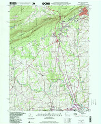
1999 Map of Wind Gap
USGS Topo · Published 2001About this map
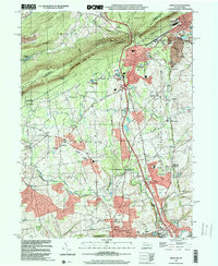
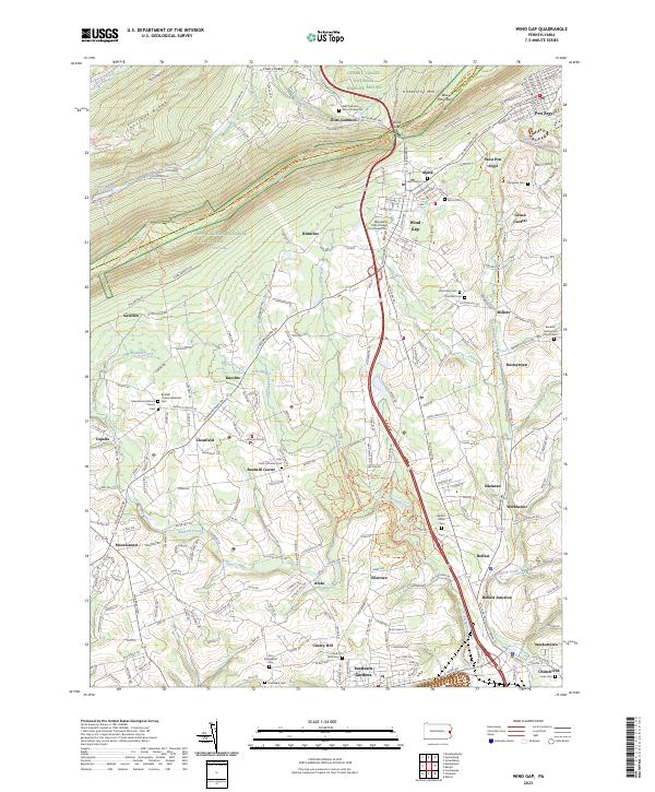
Blue Mountain dominates the northern landscape of this region at the turn of the millennium, serving as a backdrop for the namesake Wind Gap pass and the National Scenic Appalachian Trail. The map documents a corridor of Pennsylvania history where industrial roots meet preserved wilderness, featuring numerous quarries near Pen Argyl and West Pen Argyl that speak to the area's geological utility. Downslope from the ridge, the land transitions into settled communities like Belfast, Stockertown, and Bushkill Center. Cultural landmarks including the St Peters Union Ch, Township Sch, and the Mt View Park Racetrack appear alongside extensive protected acreage in Jacobsburg State Park and State Game Lands No 168. An Old Railroad Grade and substations trace the infrastructure that supported local expansion through the late 20th century.
Find a feature on this map
59 named features on this map. Tap any name to fly to it.
Don’t see what you’re looking for? This feature index may not catch every label — zoom into the map to look around manually.
Map Details
Editions of this 1999 Wind Gap Map
This is the sole edition of this map. No revisions or reprints were ever made.
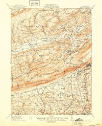
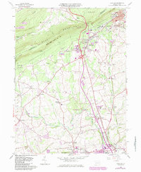
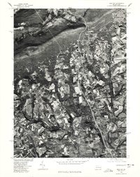
Historical Maps of Pen Argyl Through Time
8 maps found


Featured Locations
- Bushkill Township, PA
- Pen Argyl, PA
- Wind Gap, PA
- Rismiller, Bushkill Township
- Wardsburg, Plainfield Township