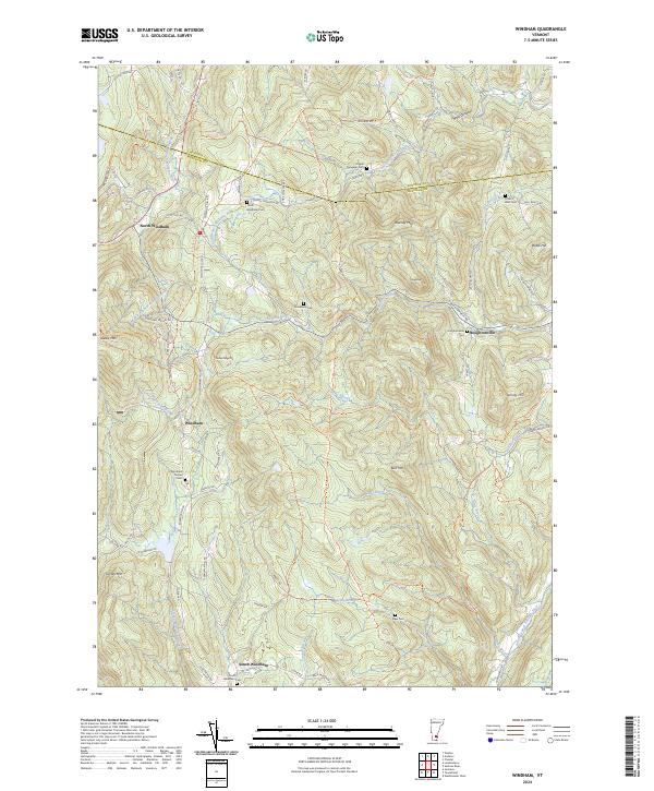
2024 Map of Windham
USGS Topo · Published 2024About this map
The rugged high country of southern Vermont is defined here by the headwaters of the Saxtons River and the branches of the Williams River. Settlement is concentrated in small upland clusters like Windham and North Windham, where the geography is etched with deep valleys and steep peaks. The curiously named Popple Dungeon area in the northeast corner of the quadrangle suggests the difficult terrain encountered by early travelers along Old Stage Rd. This landscape is particularly rich for genealogical research, documenting several distinct burial grounds including the Windham Center Cem and the South Windham Cem. The transition from the high ridges of Glebe Mtn and Timber Ridge Mtn down to the creek-side community of Houghtonville illustrates the traditional mountain-valley settlement patterns of the region.
Find a feature on this map
75 named features on this map. Tap any name to fly to it.
Don’t see what you’re looking for? This feature index may not catch every label — zoom into the map to look around manually.
Map Details
Editions of this 2024 Windham Map
This is the sole edition of this map. No revisions or reprints were ever made.
Other maps of this area

1893 · Wallingford
USGS Topo · 1:62,500

1894 · Londonderry
USGS Topo · 1:62,500

1899 · Londonderry
USGS Topo · 1:62,500

1928 · Ludlow
USGS Topo · 1:48,000

1929 · Ludlow
USGS Topo · 1:62,500

1930 · Saxtons River
USGS Topo · 1:48,000

1932 · Ludlow
USGS Topo · 1:62,500

1933 · Saxtons River
USGS Topo · 1:62,500

1950 · Glens Falls
USGS Topo · 1:250,000

1955 · Wallingford
USGS Topo · 1:62,500