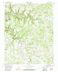
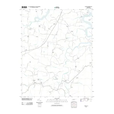
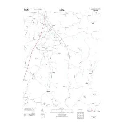
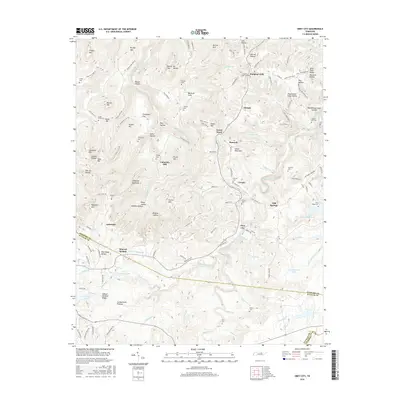
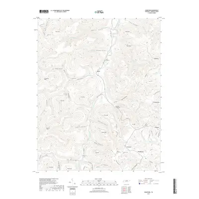
1955 Map of Windle
USGS Topo · Published 1956About this map
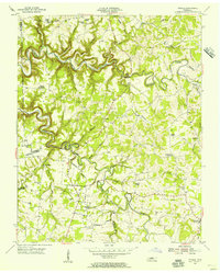
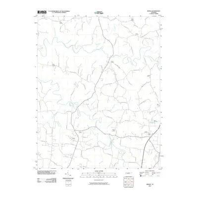
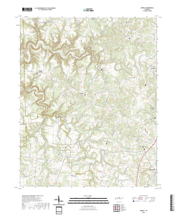
Roaring River carves a deep, winding path through the borderlands of Jackson, Overton, and Putnam counties in the mid-1950s. This survey reveals a landscape where rural life is anchored by a dense network of country churches and schools, such as Allens Chapel, Duncans Chapel, and Oneal Sch. The terrain is deeply incised by countless waterways, including Spring Creek, Honey Branch, and Zollicoffer Creek, which dictate the placement of early settlements like Waterloo and Windle.
Find a feature on this map
50 named features on this map. Tap any name to fly to it.
Don’t see what you’re looking for? This feature index may not catch every label — zoom into the map to look around manually.
Map Details
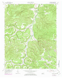
Editions of this 1955 Windle Map
This is the sole edition of this map. No revisions or reprints were ever made.
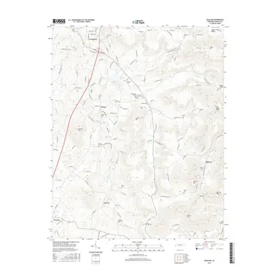
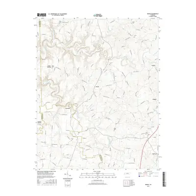
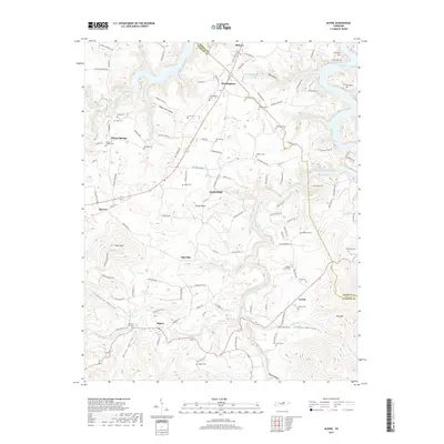
Historical Maps of Bangham Village Through Time
34 maps found

1897 Standingstone
Overton County, TN
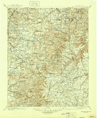
1898 Standingstone
Overton County, TN
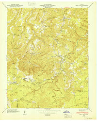
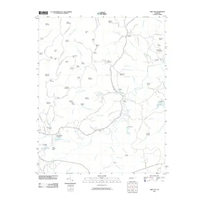
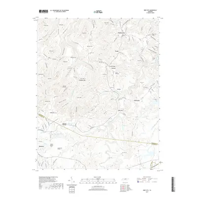
1946 Obey City
Overton County, TN
1950 Obey City
Overton County, TN
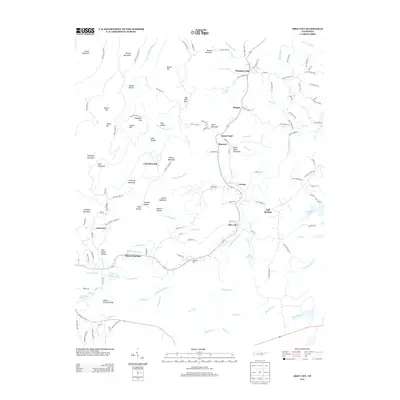
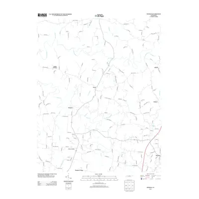
1951 Windle
Overton County, TN
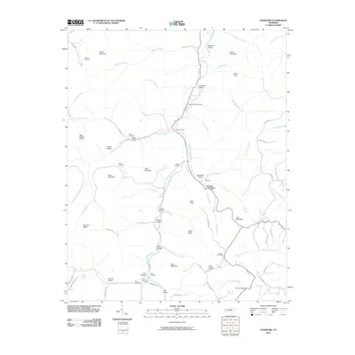
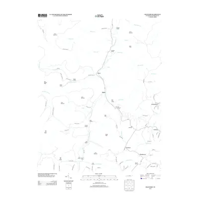
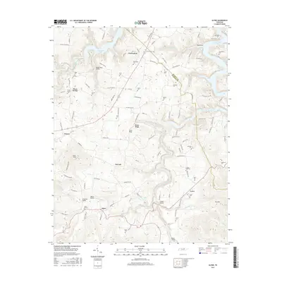
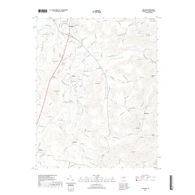
1954 Crawford
Overton County, TN
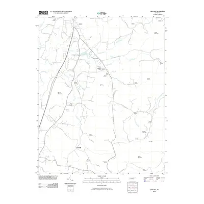
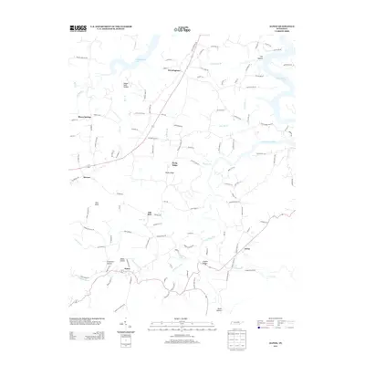
1955 Okalona
Overton County, TN
1955 Windle
Overton County, TN
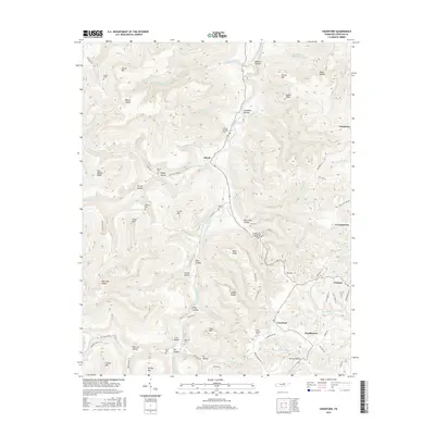
1956 Alpine
Overton County, TN
2010 Alpine
Overton County, TN
2010 Crawford
Overton County, TN
2010 Obey City
Overton County, TN
2010 Okalona
Overton County, TN
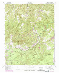
2010 Windle
Overton County, TN
2013 Alpine
Overton County, TN
2013 Crawford
Overton County, TN
2013 Obey City
Overton County, TN
2013 Okalona
Overton County, TN
2013 Windle
Overton County, TN
2016 Alpine
Overton County, TN
2016 Crawford
Overton County, TN
2016 Obey City
Overton County, TN
2016 Okalona
Overton County, TN
2016 Windle
Overton County, TN
2019 Alpine
Overton County, TN
2019 Crawford
Overton County, TN
2019 Obey City
Overton County, TN
2019 Okalona
Overton County, TN
2019 Windle
Overton County, TN
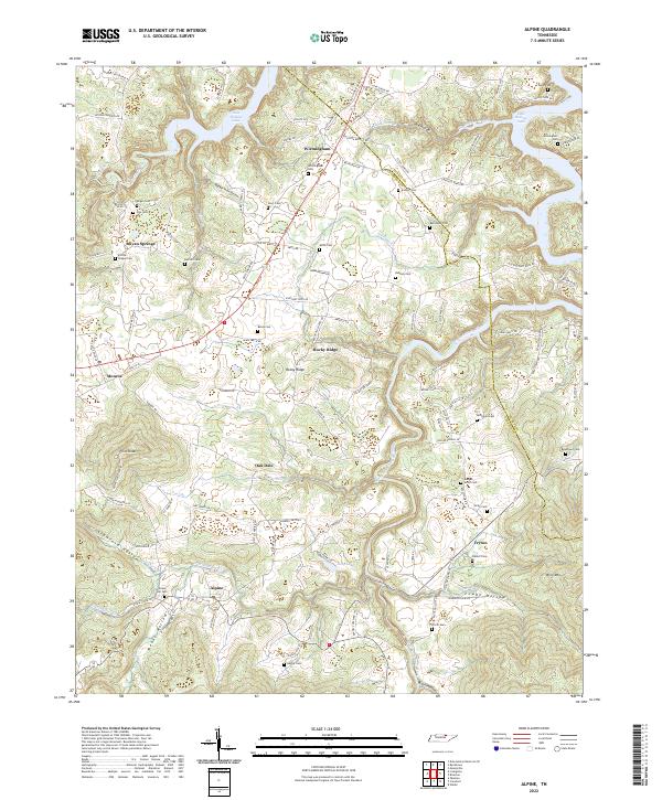
2022 Alpine
Overton County, TN
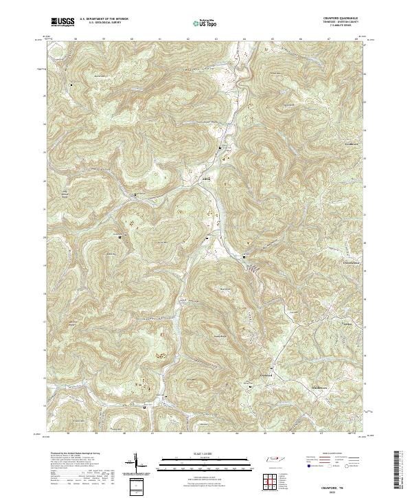
2022 Crawford
Overton County, TN
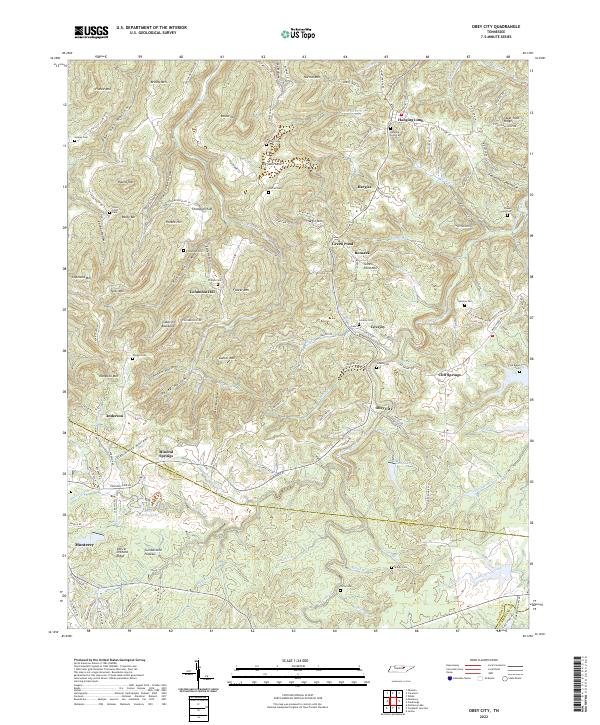
2022 Obey City
Overton County, TN
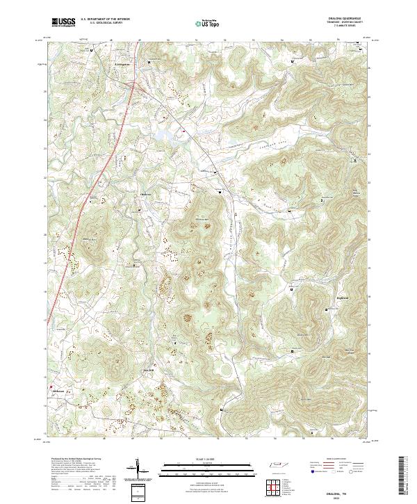
2022 Okalona
Overton County, TN
2022 Windle
Overton County, TN