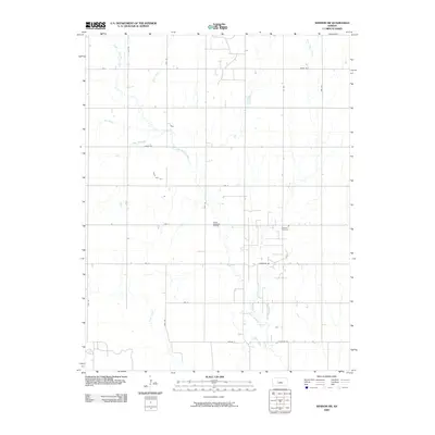
2009 Map of Windom SW
USGS Topo · Published 2009About this map
The Little Arkansas River and its numerous tributaries, including Salt Creek, Lone Tree Creek, and Sand Creek, dominate this rural landscape in Rice County. This 2009 survey reveals a strictly organized grid of agricultural roads, such as Kiowa Rd and Chisholm Rd, which reflect the region's enduring commitment to section-line development. The presence of the Welch- Bornholdt Oil Field indicates the localized intersection of energy extraction and farming, a common economic driver in central Kansas. Near the center of the quadrangle, the Andover Cemetery stands as a significant point of interest for genealogists, marking the site of a community focal point amidst the sprawling fields. This map captures the area as it transitioned into the early 21st century, maintaining its traditional hydrographic patterns and land use.
Find a feature on this map
23 named features on this map. Tap any name to fly to it.
Don’t see what you’re looking for? This feature index may not catch every label — zoom into the map to look around manually.
Map Details
Editions of this 2009 Windom SW Map
This is the sole edition of this map. No revisions or reprints were ever made.
Other maps of this area

1891 · Hutchinson
USGS Topo · 1:125,000

1893 · Hutchinson
USGS Topo · 1:125,000

1894 · Lyons
USGS Topo · 1:125,000

1955 · Great Bend
USGS Topo · 1:250,000

1955 · Hutchinson
USGS Topo · 1:250,000

1957 · Great Bend
USGS Topo · 1:250,000

1958 · Great Bend
USGS Topo · 1:250,000

1959 · Hutchinson
USGS Topo · 1:250,000

1964 · Windom SW
USGS Topo · 1:24,000

1964 · Conway
USGS Topo · 1:24,000