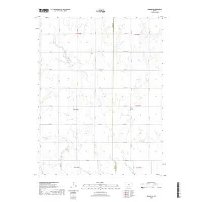
2018 Map of Windom SW
USGS Topo · Published 2018About this map
The Little Arkansas River meanders through this portion of central Kansas, marking the boundary between Rice and McPherson counties. The landscape is primarily defined by its hydrology and a rigid grid of rural roads that cross the drainage basins of Lone Tree Cr, Sand Cr, and Salt Cr. This area maintains its agricultural character with a sparse distribution of landmarks, most notably the Andover Lutheran Church Cem, which provides a focal point for local history and genealogy research. The presence of historically named routes like Chisholm Rd and Iron Horse Rd reflects the enduring path of transportation across these plains, where the terrain gently transitions around the waterway's winding course.
Find a feature on this map
38 named features on this map. Tap any name to fly to it.
Don’t see what you’re looking for? This feature index may not catch every label — zoom into the map to look around manually.
Map Details
Editions of this 2018 Windom SW Map
This is the sole edition of this map. No revisions or reprints were ever made.
Other maps of this area

1891 · Hutchinson
USGS Topo · 1:125,000

1893 · Hutchinson
USGS Topo · 1:125,000

1894 · Lyons
USGS Topo · 1:125,000

1955 · Great Bend
USGS Topo · 1:250,000

1955 · Hutchinson
USGS Topo · 1:250,000

1957 · Great Bend
USGS Topo · 1:250,000

1958 · Great Bend
USGS Topo · 1:250,000

1959 · Hutchinson
USGS Topo · 1:250,000

1964 · Windom SW
USGS Topo · 1:24,000

1964 · Conway
USGS Topo · 1:24,000