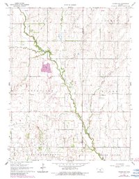
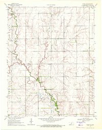
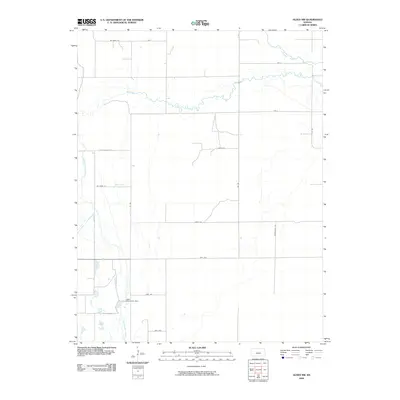
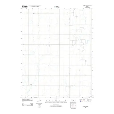
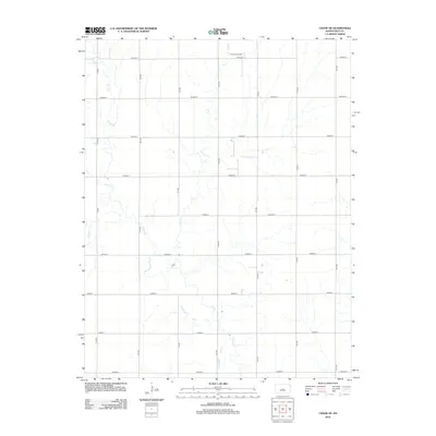
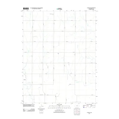
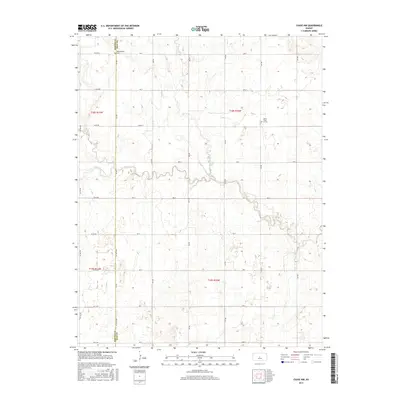
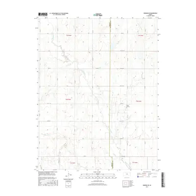
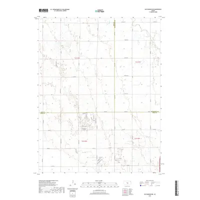
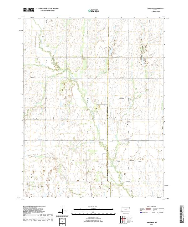
1964 Map of Windom SW
USGS Topo · Published 1983About this map
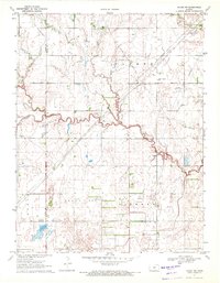
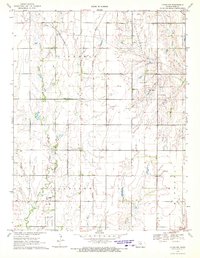
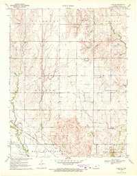
The Little Arkansas River meanders across this rural landscape at the intersection of Rice and McPherson counties, defining the boundary between townships like Rockville and Hayes. The terrain is marked by numerous watercourses, including Salt Creek, Dry Creek, and Lone Tree Creek, which influenced the placement of early infrastructure. Rural social life is anchored by several landmark institutions, such as the Rockville Sch and Prairie Vista Sch, alongside the Andover Ch.
Find a feature on this map
21 named features on this map. Tap any name to fly to it.
Don’t see what you’re looking for? This feature index may not catch every label — zoom into the map to look around manually.
Map Details
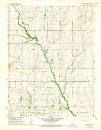
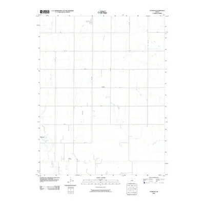
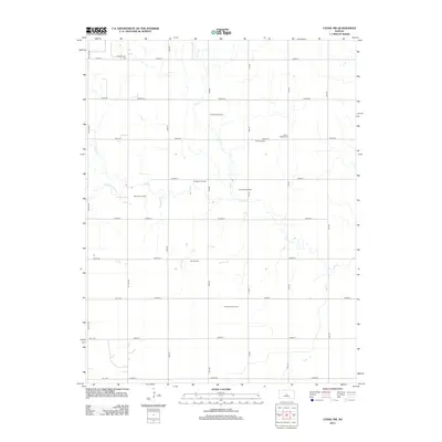
Editions of this 1964 Windom SW Map
2 editions found
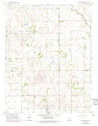
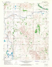
Historical Maps of McPherson County Through Time
42 maps found
1964 Windom SW
Rice County, KS
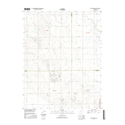
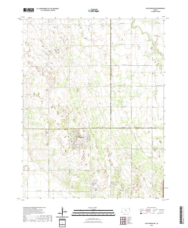
1965 Hutchinson NW
Rice County, KS
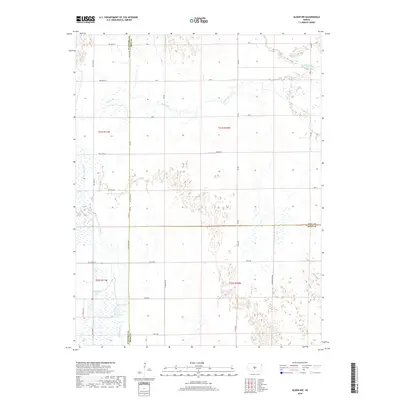
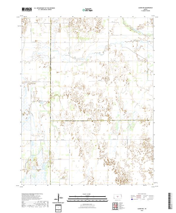
1967 Alden NW
Rice County, KS
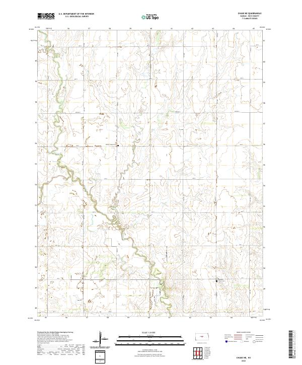
1970 Chase NE
Rice County, KS
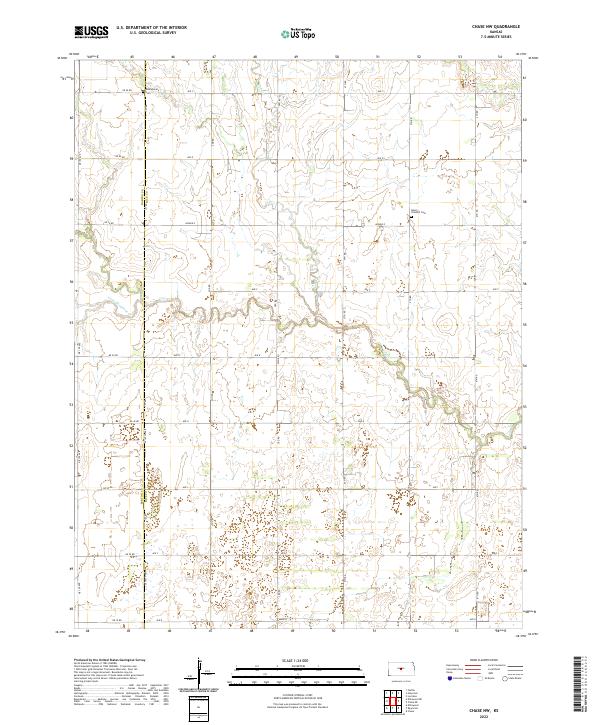
1970 Chase NW
Rice County, KS
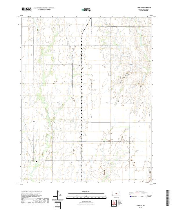
1970 Lyons NW
Rice County, KS
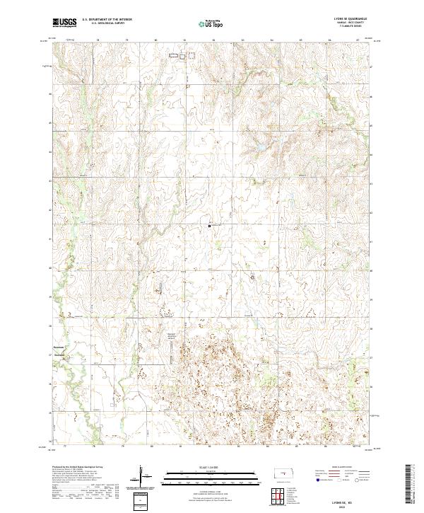
1970 Lyons SE
Rice County, KS
2009 Alden NW
Rice County, KS
2009 Chase NE
Rice County, KS
2009 Chase NW
Rice County, KS
2009 Hutchinson NW
Rice County, KS
2009 Lyons NW
Rice County, KS
2009 Lyons SE
Rice County, KS
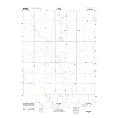
2009 Windom SW
Rice County, KS
2012 Alden NW
Rice County, KS
2012 Chase NE
Rice County, KS
2012 Chase NW
Rice County, KS
2012 Hutchinson NW
Rice County, KS
2012 Lyons NW
Rice County, KS
2012 Lyons SE
Rice County, KS
2012 Windom SW
Rice County, KS
2015 Alden NW
Rice County, KS
2015 Chase NE
Rice County, KS
2015 Chase NW
Rice County, KS
2015 Hutchinson NW
Rice County, KS
2015 Lyons NW
Rice County, KS
2015 Lyons SE
Rice County, KS
2015 Windom SW
Rice County, KS
2018 Alden NW
Rice County, KS
2018 Chase NE
Rice County, KS
2018 Chase NW
Rice County, KS
2018 Hutchinson NW
Rice County, KS
2018 Lyons NW
Rice County, KS
2018 Lyons SE
Rice County, KS
2018 Windom SW
Rice County, KS
2022 Alden NW
Rice County, KS
2022 Chase NE
Rice County, KS
2022 Chase NW
Rice County, KS
2022 Hutchinson NW
Rice County, KS
2022 Lyons NW
Rice County, KS
2022 Lyons SE
Rice County, KS
2022 Windom SW
Rice County, KS