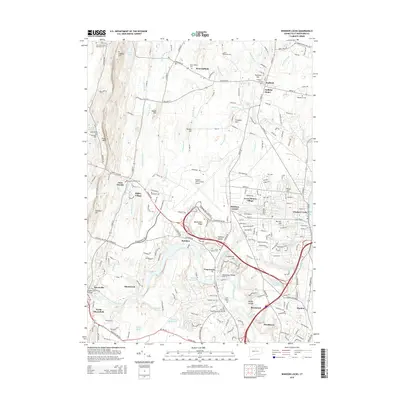
2015 Map of Windsor Locks
USGS Topo · Published 2015About this map
Bradley International Airport dominates the central landscape of this 2015 study, surrounded by the established Connecticut River Valley communities of Windsor Locks, Suffield, and Poquonock. The terrain is defined by the sharp rise of Metacomet Ridge and W Suffield Mtn, where the New England National Scenic Trail traverses the western heights. Significant local history is preserved in numerous burial sites, from the Poquonock Burial Grounds to the Prisoners Cem near Peak Mtn. The Farmington River flows through the southern reaches, connecting the older settlements of Spoonville and North Bloomfield. The mapping of small hamlets like Bull Run Corner and Higley Village alongside modern infrastructure illustrates the long-term evolution of Hartford County from its early river-based economy to a primary regional transportation hub.
Find a feature on this map
228 named features on this map. Tap any name to fly to it.
Don’t see what you’re looking for? This feature index may not catch every label — zoom into the map to look around manually.
Map Details
Editions of this 2015 Windsor Locks Map
This is the sole edition of this map. No revisions or reprints were ever made.
Other maps of this area

1886 · Springfield
USGS Topo · 1:62,500

1887 · Granville
USGS Topo · 1:62,500

1889 · Springfield
USGS Topo · 1:62,500

1889 · Granville
USGS Topo · 1:62,500

1892 · Hartford
USGS Topo · 1:62,500

1892 · Granby
USGS Topo · 1:62,500

1893 · Springfield
USGS Topo · 1:62,500

1893 · Granville
USGS Topo · 1:62,500

1895 · Springfield
USGS Topo · 1:62,500

1895 · Granville
USGS Topo · 1:62,500