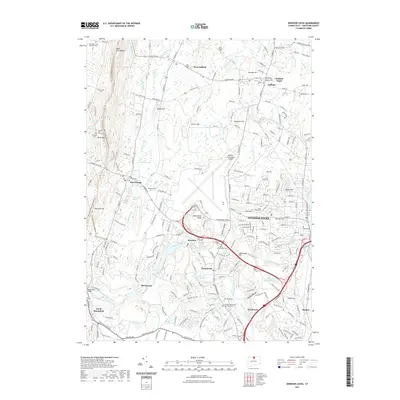
2021 Map of Windsor Locks
USGS Topo · Published 2021About this map
Bradley International Airport dominates the central landscape of this Connecticut corridor, situated amidst a dense network of historical burial sites and rugged topography. The Metacomet Ridge and West Suffield Mtn define the western elevation, while the Farmington River winds through the southern reaches near Poquonock. This area is notable for its high concentration of genealogy-rich sites, ranging from the John Viets Cem and Prisoners Cem near the northwestern hills to the venerable Ye Olde Poquonock Burial Grounds.
Find a feature on this map
181 named features on this map. Tap any name to fly to it.
Don’t see what you’re looking for? This feature index may not catch every label — zoom into the map to look around manually.
Map Details
Editions of this 2021 Windsor Locks Map
This is the sole edition of this map. No revisions or reprints were ever made.
Other maps of this area

1886 · Springfield
USGS Topo · 1:62,500

1887 · Granville
USGS Topo · 1:62,500

1889 · Springfield
USGS Topo · 1:62,500

1889 · Granville
USGS Topo · 1:62,500

1892 · Hartford
USGS Topo · 1:62,500

1892 · Granby
USGS Topo · 1:62,500

1893 · Springfield
USGS Topo · 1:62,500

1893 · Granville
USGS Topo · 1:62,500

1895 · Springfield
USGS Topo · 1:62,500

1895 · Granville
USGS Topo · 1:62,500