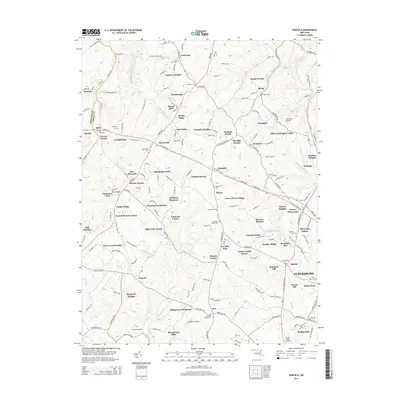
2014 Map of Winfield
USGS Topo · Published 2014About this map
Eldersburg and Winfield anchor this rural landscape in Carroll County during the early 21st century. The map documents a complex network of residential subdivisions and estates that define the modern suburban transition, from Braddock Estates and Dulany Hills to Ray-Mar Estates. Despite the growth, the area's agricultural and spiritual foundations remain visible through a high concentration of family and community burial grounds, such as Bethel Cem, Saint James Cem, and Morgans Chapel Cem.
Find a feature on this map
199 named features on this map. Tap any name to fly to it.
Don’t see what you’re looking for? This feature index may not catch every label — zoom into the map to look around manually.
Map Details
Editions of this 2014 Winfield Map
This is the sole edition of this map. No revisions or reprints were ever made.
Other maps of this area

1892 · Ellicott
USGS Topo · 1:62,500

1893 · Frederick
USGS Topo · 1:125,000

1894 · Ellicott
USGS Topo · 1:62,500

1894 · Frederick
USGS Topo · 1:125,000

1905 · Westminster
USGS Topo · 1:62,500

1906 · Ellicott
USGS Topo · 1:62,500

1908 · Patapsco
USGS Topo · 1:125,000

1909 · Mount Airy
USGS Topo · 1:62,500

1911 · Taneytown
USGS Topo · 1:62,500

1942 · Gettysburg
USGS Topo · 1:125,000