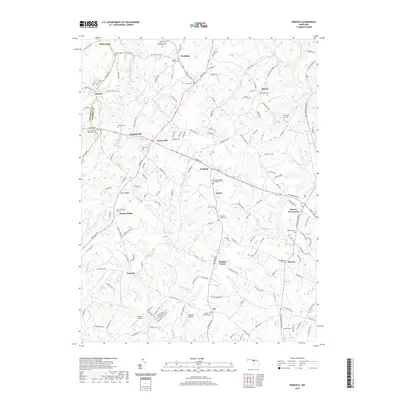
2019 Map of Winfield
USGS Topo · Published 2019About this map
Parrs Ridge and Timber Ridge form the elevated spine of this landscape in south-central Carroll County, where the headwaters of numerous streams diverge. The drainage of Morgan Run, Piney Run, and Gillis Falls creates a dissected terrain that historically dictated the placement of early settlements and roads. Small community centers such as Taylorsville, Winfield, and Dennings are situated along the higher ground, often centered around long-standing religious sites like Sams Creek Church of the Brethren and its associated cemetery. This 2019 survey documents a transition from traditional rural patterns to modern infrastructure, where local aviation fields like Woodbine Airport and Clearview Airpark operate alongside historic crossroads. The map reveals a high density of family and church burial grounds, including Salem Cem and Evans Cem, which provide significant data points for genealogical research in this part of Maryland.
Find a feature on this map
166 named features on this map. Tap any name to fly to it.
Don’t see what you’re looking for? This feature index may not catch every label — zoom into the map to look around manually.
Map Details
Editions of this 2019 Winfield Map
This is the sole edition of this map. No revisions or reprints were ever made.
Other maps of this area

1892 · Ellicott
USGS Topo · 1:62,500

1893 · Frederick
USGS Topo · 1:125,000

1894 · Ellicott
USGS Topo · 1:62,500

1894 · Frederick
USGS Topo · 1:125,000

1905 · Westminster
USGS Topo · 1:62,500

1906 · Ellicott
USGS Topo · 1:62,500

1908 · Patapsco
USGS Topo · 1:125,000

1909 · Mount Airy
USGS Topo · 1:62,500

1911 · Taneytown
USGS Topo · 1:62,500

1942 · Gettysburg
USGS Topo · 1:125,000