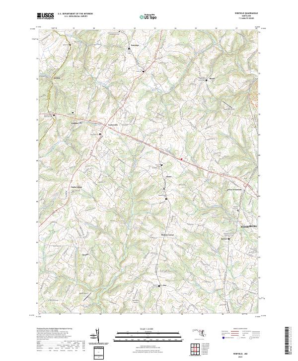
2023 Map of Winfield
USGS Topo · Published 2023About this map
Parrs Ridge forms a prominent geographic spine across this part of Carroll County, where the headwaters of numerous streams like Sams Creek and Morgan Run carve through the agricultural landscape. The area is defined by a series of crossroads settlements such as Taylorsville, Daniel, and Bloom, each serving as a focal point for the surrounding rural communities. These small hamlets often developed around local intersections and are frequently marked by their religious centers, including the Sams Creek Church of the Brethren and the Fairview United Methodist site.
Find a feature on this map
158 named features on this map. Tap any name to fly to it.
Don’t see what you’re looking for? This feature index may not catch every label — zoom into the map to look around manually.
Map Details
Editions of this 2023 Winfield Map
This is the sole edition of this map. No revisions or reprints were ever made.
Other maps of this area

1892 · Ellicott
USGS Topo · 1:62,500

1893 · Frederick
USGS Topo · 1:125,000

1894 · Ellicott
USGS Topo · 1:62,500

1894 · Frederick
USGS Topo · 1:125,000

1905 · Westminster
USGS Topo · 1:62,500

1906 · Ellicott
USGS Topo · 1:62,500

1908 · Patapsco
USGS Topo · 1:125,000

1909 · Mount Airy
USGS Topo · 1:62,500

1911 · Taneytown
USGS Topo · 1:62,500

1942 · Gettysburg
USGS Topo · 1:125,000