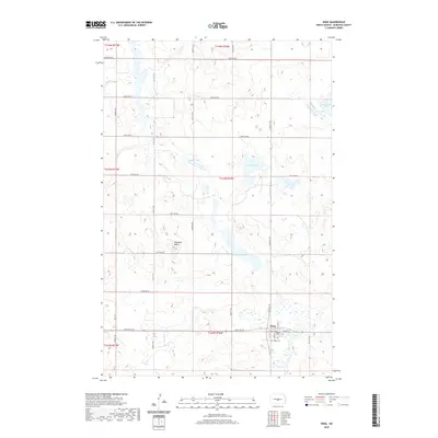
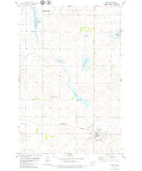
2020 Map of Wing
USGS Topo · Published 2020About this map
Wing serves as the primary hub of this Burleigh County landscape, situated at the junction of Main St and 305th Ave NE. The town's layout is clearly defined by local streets like Hill St and 2nd Ave E, with the Wing Cem located just to the southwest. This area of North Dakota is characterized by a high density of small wetlands and prairie potholes, punctuated by larger water bodies such as Mitchell Lake and Lonetree Lake.
Find a feature on this map
31 named features on this map. Tap any name to fly to it.
Don’t see what you’re looking for? This feature index may not catch every label — zoom into the map to look around manually.
Map Details
Editions of this 2020 Wing Map
This is the sole edition of this map. No revisions or reprints were ever made.
Other maps of this area

1954 · McClusky
USGS Topo · 1:250,000

1958 · McClusky
USGS Topo · 1:250,000

1960 · Horse Lake
USGS Topo · 1:24,000

1960 · Florence Lake
USGS Topo · 1:24,000

1975 · Wing SE
USGS Topo · 1:24,000
1975 · Wing SW
USGS Topo · 1:24,000
1978 · Goodrich SW
USGS Topo · 1:24,000
1979 · Harriet Lake
USGS Topo · 1:24,000

1979 · Canfield Lake
USGS Topo · 1:24,000
1979 · Wing
USGS Topo · 1:24,000