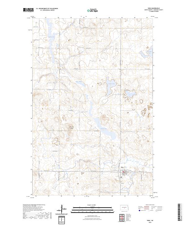
2024 Map of Wing
USGS Topo · Published 2024About this map
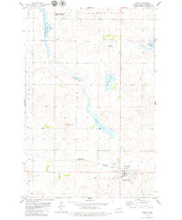
Wing serves as the primary settlement hub for this section of central North Dakota, anchored by the Wing Cem and a grid of rural section-line roads like 305th Ave NE. The landscape is dominated by the prairie pothole region's distinct hydrology, featuring a dense network of wetlands and small water bodies including Lonetree Lake, Mitchell Lake, and Bunker Lake.
Find a feature on this map
32 named features on this map. Tap any name to fly to it.
Don’t see what you’re looking for? This feature index may not catch every label — zoom into the map to look around manually.
Map Details
Editions of this 2024 Wing Map
This is the sole edition of this map. No revisions or reprints were ever made.
Other maps of this area

1954 · McClusky
USGS Topo · 1:250,000

1958 · McClusky
USGS Topo · 1:250,000

1960 · Horse Lake
USGS Topo · 1:24,000

1960 · Florence Lake
USGS Topo · 1:24,000

1975 · Wing SE
USGS Topo · 1:24,000
1975 · Wing SW
USGS Topo · 1:24,000
1978 · Goodrich SW
USGS Topo · 1:24,000
1979 · Harriet Lake
USGS Topo · 1:24,000

1979 · Canfield Lake
USGS Topo · 1:24,000
1979 · Wing
USGS Topo · 1:24,000