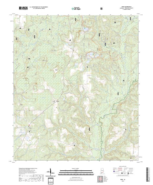
2024 Map of Wing
USGS Topo · Published 2024About this map
The Conecuh National Forest dominates this section of southern Covington County, where the transition between pine flatwoods and river bottomlands is defined by the winding course of the Yellow River. In this era of modern land management, the map preserves the locations of early 20th-century communities like Wing, Falco, and Beda. These settlements are anchored by small family and community burial grounds, including the Wing Cem, Beda Cem, and the Zion Rock Cem further north. The geography is characterized by an intricate network of wetlands and ponds, such as Open Pond, Blue Lake, and Alligator Pond, alongside seasonally flooded bays like Falco Bay and Wolf Thicket Bay. Genealogists will find particular value in the scattered rural churches and cemeteries, such as the Hopewell United Methodist Church Cem, which help document the long-standing family ties to this corner of Alabama.
Find a feature on this map
65 named features on this map. Tap any name to fly to it.
Don’t see what you’re looking for? This feature index may not catch every label — zoom into the map to look around manually.
Map Details
Editions of this 2024 Wing Map
This is the sole edition of this map. No revisions or reprints were ever made.
Other maps of this area

1949 · Crestview
USGS Topo · 1:62,500

1949 · Laurel Hill
USGS Topo · 1:62,500

1950 · Laurel Hill
USGS Topo · 1:62,500

1951 · Crestview
USGS Topo · 1:62,500

1953 · Andalusia
USGS Topo · 1:250,000

1957 · Andalusia
USGS Topo · 1:250,000

1957 · Pensacola
USGS Topo · 1:250,000

1959 · Pensacola
USGS Topo · 1:250,000

1960 · Pensacola
USGS Topo · 1:250,000

1971 · Dixie
USGS Topo · 1:24,000