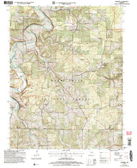
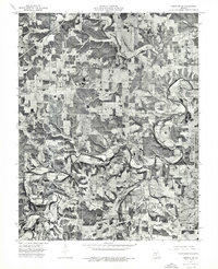
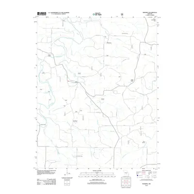
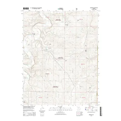
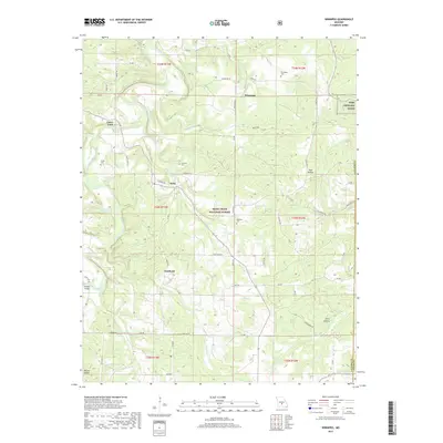
2004 Map of Winnipeg
USGS Topo · Published 2006About this map
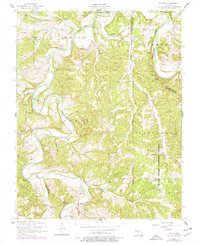
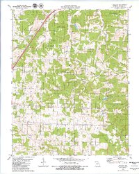
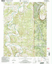
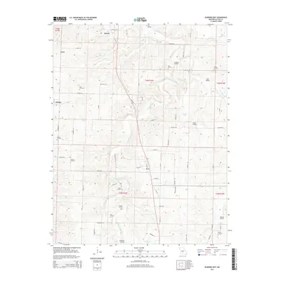
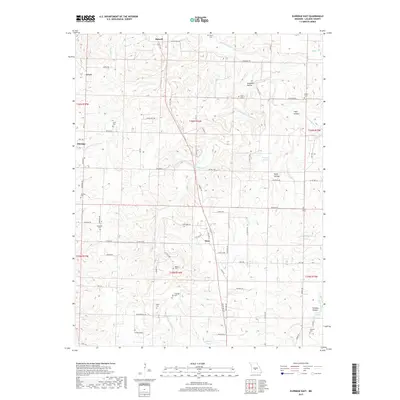
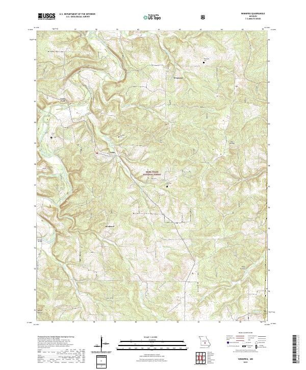
The Gasconade River meanders through the northwest corner of this Laclede County landscape, where the rugged topography is defined by the Mark Twain National Forest. This 2004 revision reflects a region deeply rooted in small rural communities like Winnipeg and Nebo, where social life once centered on the numerous schools now marked only as historical sites. Genealogists can find significant data points at Winnipeg Cem, Chatham Cem, and the McGinnis Cem.
Find a feature on this map
33 named features on this map. Tap any name to fly to it.
Don’t see what you’re looking for? This feature index may not catch every label — zoom into the map to look around manually.
Map Details
Editions of this 2004 Winnipeg Map
This is the sole edition of this map. No revisions or reprints were ever made.
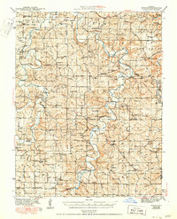
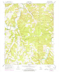
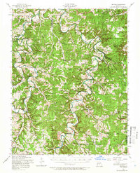
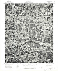
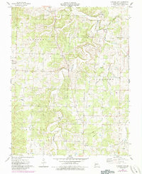
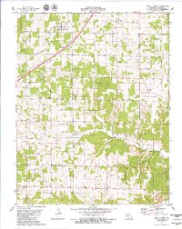
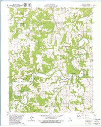
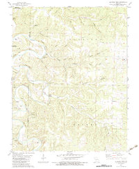
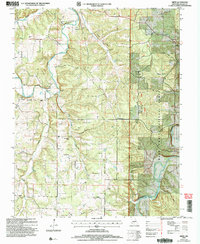
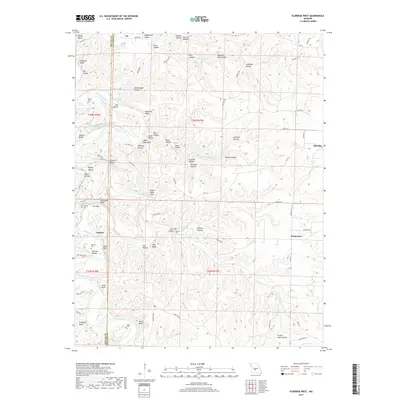
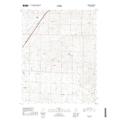
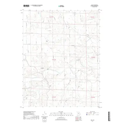
Historical Maps of Casey Ford Through Time
49 maps found
1943 Drynob
Laclede County, MO
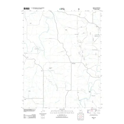
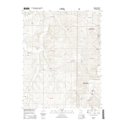
1954 Drew
Laclede County, MO
1954 Drynob
Laclede County, MO
1954 Drynob
Laclede County, MO
1954 Winnipeg
Laclede County, MO
1975 Lebanon NE
Laclede County, MO
1975 Lebanon NW
Laclede County, MO
1975 Lebanon SE
Laclede County, MO
1975 Lebanon SW
Laclede County, MO
1976 Eldridge East
Laclede County, MO
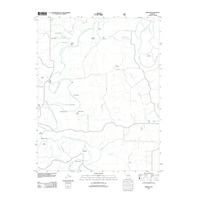
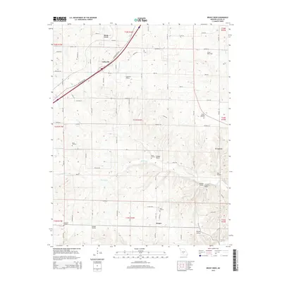
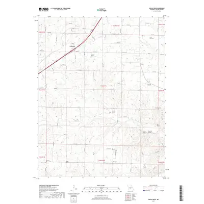
1979 Brush Creek
Laclede County, MO
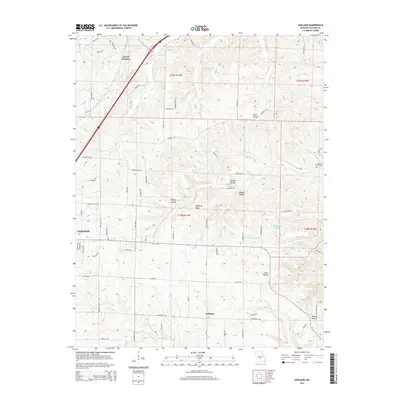
1979 Oakland
Laclede County, MO
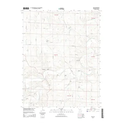
1979 Russ
Laclede County, MO
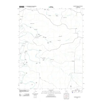
1982 Eldridge West
Laclede County, MO
2004 Drew
Laclede County, MO
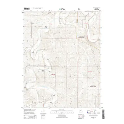
2004 Drynob
Laclede County, MO
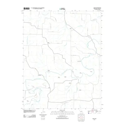
2004 Winnipeg
Laclede County, MO
2011 Brush Creek
Laclede County, MO
2011 Eldridge East
Laclede County, MO
2011 Oakland
Laclede County, MO
2011 Russ
Laclede County, MO
2012 Drew
Laclede County, MO
2012 Drynob
Laclede County, MO
2012 Eldridge West
Laclede County, MO
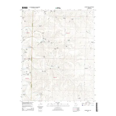
2012 Winnipeg
Laclede County, MO
2015 Brush Creek
Laclede County, MO
2015 Drew
Laclede County, MO
2015 Drynob
Laclede County, MO
2015 Eldridge East
Laclede County, MO
2015 Eldridge West
Laclede County, MO
2015 Oakland
Laclede County, MO
2015 Russ
Laclede County, MO
2015 Winnipeg
Laclede County, MO
2017 Brush Creek
Laclede County, MO
2017 Drew
Laclede County, MO
2017 Drynob
Laclede County, MO
2017 Eldridge East
Laclede County, MO
2017 Eldridge West
Laclede County, MO
2017 Oakland
Laclede County, MO
2017 Russ
Laclede County, MO
2017 Winnipeg
Laclede County, MO
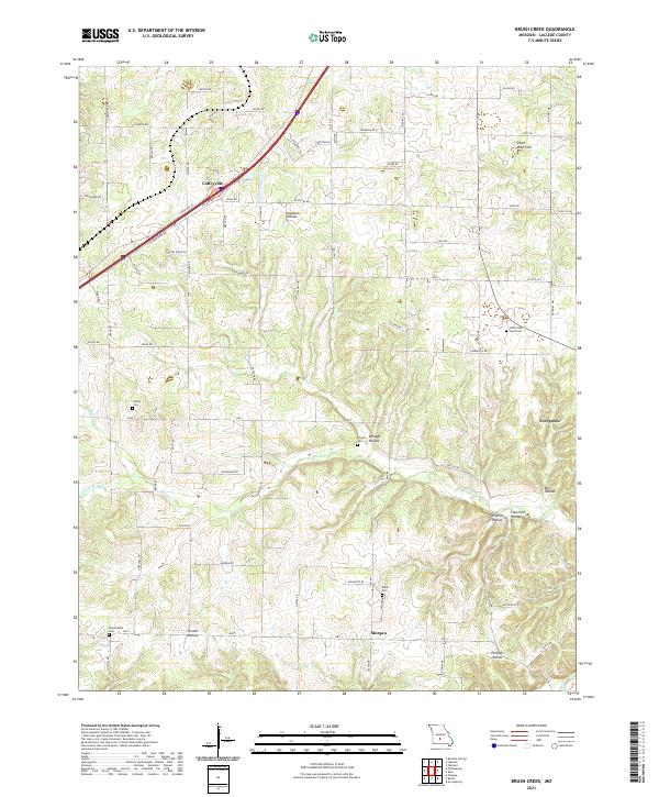
2021 Brush Creek
Laclede County, MO
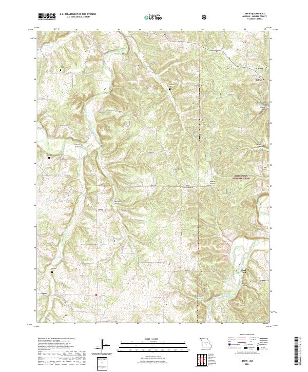
2021 Drew
Laclede County, MO
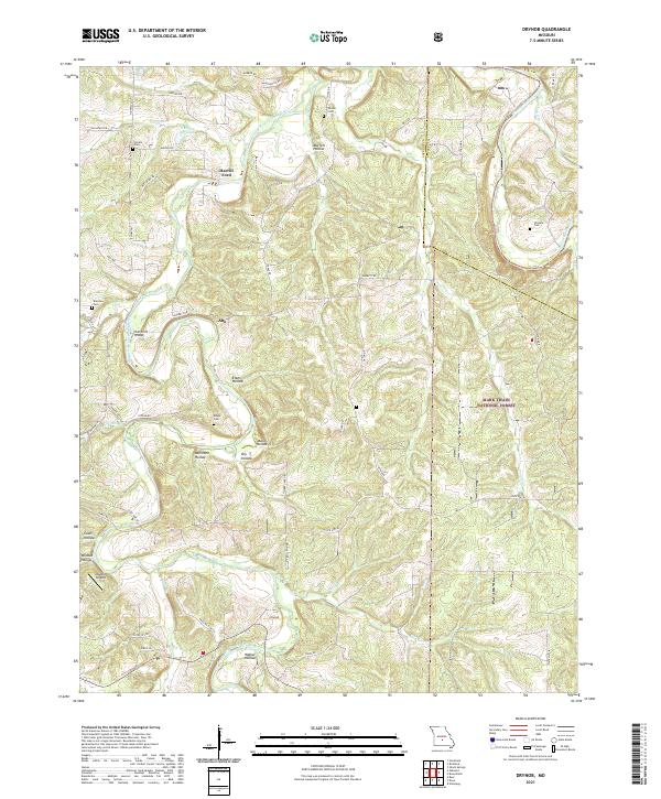
2021 Drynob
Laclede County, MO
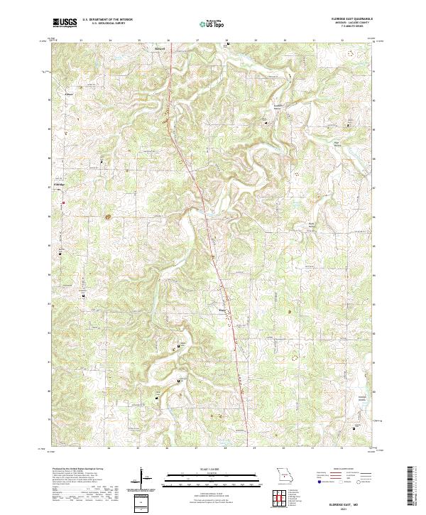
2021 Eldridge East
Laclede County, MO
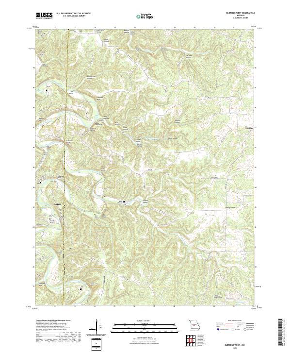
2021 Eldridge West
Laclede County, MO
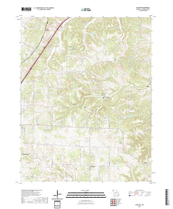
2021 Oakland
Laclede County, MO
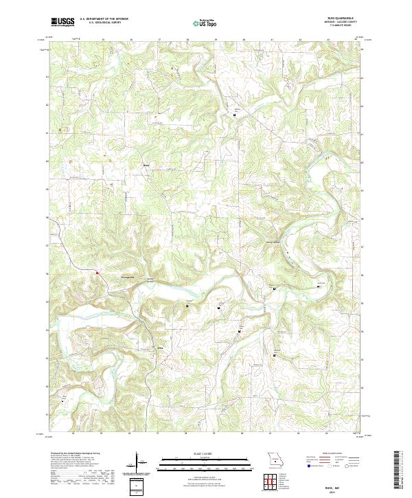
2021 Russ
Laclede County, MO
2021 Winnipeg
Laclede County, MO