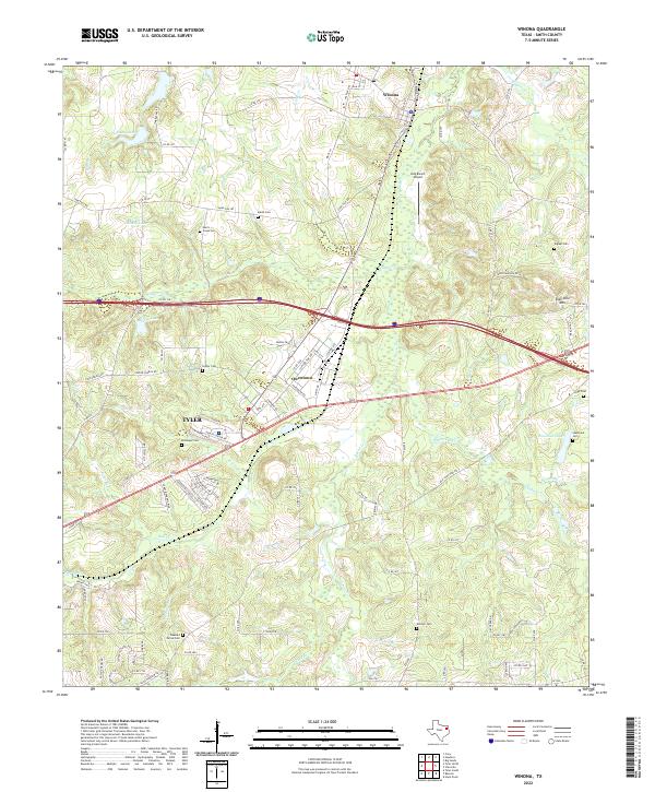
2022 Map of Winona
USGS Topo · Published 2022About this map
Family name cemeteries and small-scale water bodies define the landscape of northeast Smith County in this contemporary survey. The town of Winona sits in the northern reaches, while Tyler and Owentown occupy the central corridors, anchored by a network of local routes like FM 16 E and Sand Flat RD. This area shows a persistent pattern of rural heritage, where landmarks like Starrville Mtn and Kay Ranch Airport rise above a terrain carved by numerous drainages, including Wiggins Cr and Harris Cr.
Find a feature on this map
106 named features on this map. Tap any name to fly to it.
Don’t see what you’re looking for? This feature index may not catch every label — zoom into the map to look around manually.
Map Details
Editions of this 2022 Winona Map
This is the sole edition of this map. No revisions or reprints were ever made.
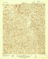
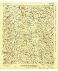
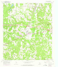
Historical Maps of Tyler Through Time
4 maps found