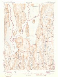
1944 Map of Winsor Dam
USGS Topo · Published 1944About this map
Quabbin Reservoir dominates this 1942 survey, showing the landscape shortly after the flooding of the Swift River Valley. The massive engineering of Winsor Dam and the Quabbin Dike define the southern edge of the water, which has transformed the former terrain into features like the Prescott Peninsula and isolated peaks such as Little Quabbin and Mt Lizzie. On the remaining dry land, the map preserves the relocated heritage of the valley at Quabbin Park Cem. South of the reservoir, the rural character of the area is detailed through the clustered settlements of West Ware and Ware Center, connected by a network of local roads like Turnpike Road and Fisherdick Road. The transition from the high lookout at Quabbin Hill down to the surviving industrial and agricultural landscape around Beaver Lake illustrates the profound shift in land use following the creation of the reservoir.
Find a feature on this map
60 named features on this map. Tap any name to fly to it.
Don’t see what you’re looking for? This feature index may not catch every label — zoom into the map to look around manually.
Map Details
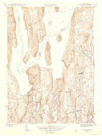
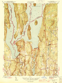
Editions of this 1944 Winsor Dam Map
3 editions found
Other maps of this area

1887 · Brookfield
USGS Topo · 1:62,500

1887 · Palmer
USGS Topo · 1:62,500

1887 · Belchertown
USGS Topo · 1:62,500

1887 · Barre
USGS Topo · 1:62,500

1889 · Palmer
USGS Topo · 1:62,500

1889 · Barre
USGS Topo · 1:62,500

1890 · Belchertown
USGS Topo · 1:62,500

1890 · Brookfield
USGS Topo · 1:62,500

1893 · Palmer
USGS Topo · 1:62,500

1893 · Belchertown
USGS Topo · 1:62,500