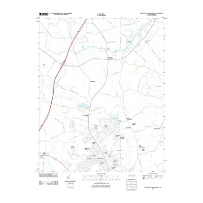
2010 Map of Winstead Crossroads
USGS Topo · Published 2010About this map
Winstead Crossroads and Cliftonville anchor this northern Wilson County landscape, where the Tar River meanders across the upper reaches of the map. The area's transition from rural crossroads to residential expansion is evident in the dense network of named subdivisions like Sherwood Forest, Newton Park, and Stoneybrook clustered near the Wilson Municipal Airport. Water management and local recreation are central to the terrain, defined by the Lake Wilson Dam and the expansive Toisnot Reservoir to the south.
Find a feature on this map
87 named features on this map. Tap any name to fly to it.
Don’t see what you’re looking for? This feature index may not catch every label — zoom into the map to look around manually.
Map Details
Editions of this 2010 Winstead Crossroads Map
This is the sole edition of this map. No revisions or reprints were ever made.
Other maps of this area

1902 · Kenly
USGS Topo · 1:62,500

1902 · Rocky Mount
USGS Topo · 1:62,500

1902 · Spring Hope
USGS Topo · 1:62,500

1903 · Kenly
USGS Topo · 1:62,500

1904 · Rocky Mount
USGS Topo · 1:62,500

1904 · Springhope
USGS Topo · 1:62,500

1904 · Wilson
USGS Topo · 1:62,500

1953 · Rocky Mount
USGS Topo · 1:250,000

1953 · Raleigh
USGS Topo · 1:250,000

1954 · Rocky Mount
USGS Topo · 1:250,000