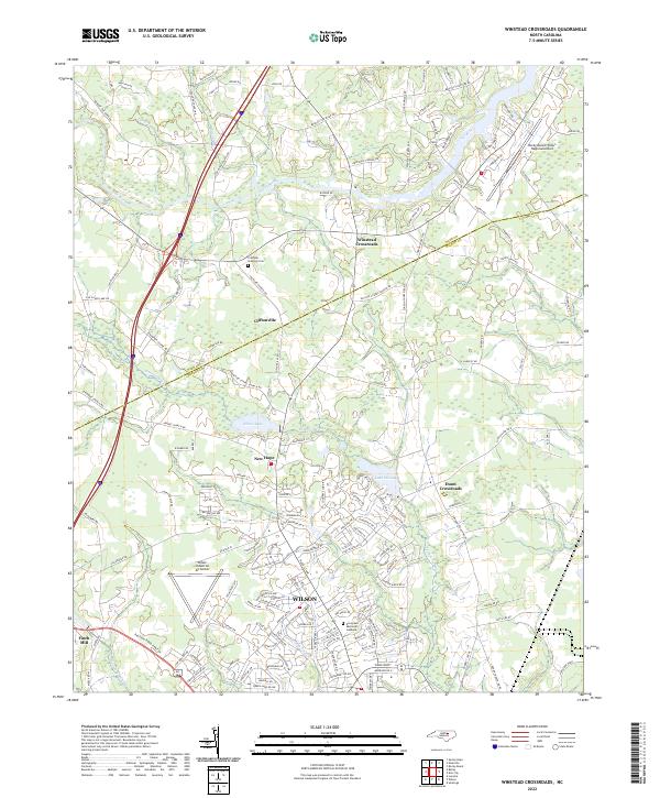
2022 Map of Winstead Crossroads
USGS Topo · Published 2022About this map
Wilson and its surrounding rural hamlets are centered in a landscape defined by the drainage basins of the Tar River and Toisnot Swamp. This modern survey illustrates the suburban expansion of the city northward toward New Hope and Lake Wilson, while maintaining the traditional character of smaller communities like Winstead Crossroads and Cliftonville. The transition from the urban grid of the county seat to the outlying farms is evident in the network of family-named roads and localized landmarks such as Finch Mill.
Find a feature on this map
149 named features on this map. Tap any name to fly to it.
Don’t see what you’re looking for? This feature index may not catch every label — zoom into the map to look around manually.
Map Details
Editions of this 2022 Winstead Crossroads Map
This is the sole edition of this map. No revisions or reprints were ever made.
Other maps of this area

1902 · Kenly
USGS Topo · 1:62,500

1902 · Rocky Mount
USGS Topo · 1:62,500

1902 · Spring Hope
USGS Topo · 1:62,500

1903 · Kenly
USGS Topo · 1:62,500

1904 · Rocky Mount
USGS Topo · 1:62,500

1904 · Springhope
USGS Topo · 1:62,500

1904 · Wilson
USGS Topo · 1:62,500

1953 · Rocky Mount
USGS Topo · 1:250,000

1953 · Raleigh
USGS Topo · 1:250,000

1954 · Rocky Mount
USGS Topo · 1:250,000